Welcome to the Panbo Marine Technology Forums.
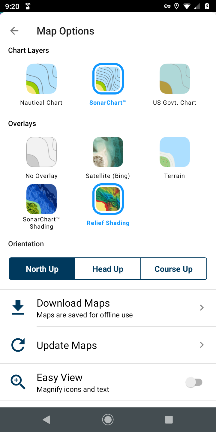
Over the weekend while updating my charts on the Navionics Boat App and my North Carolina Platinum + charts I noticed in the boat App under Overlays you that Garmin Relief Shading has now been made available for display from the boat App (Note: the entire continental US) and to the area coincidental to the charts contained on your Platinum + charts. I know that Garmin has been using Navionics chart updates to refresh the G3/G3 Vision charts. I run a mixed helm Raymarine Axiom RV and Garmin 7610xsv.
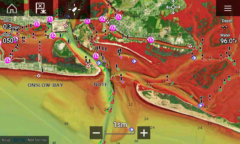
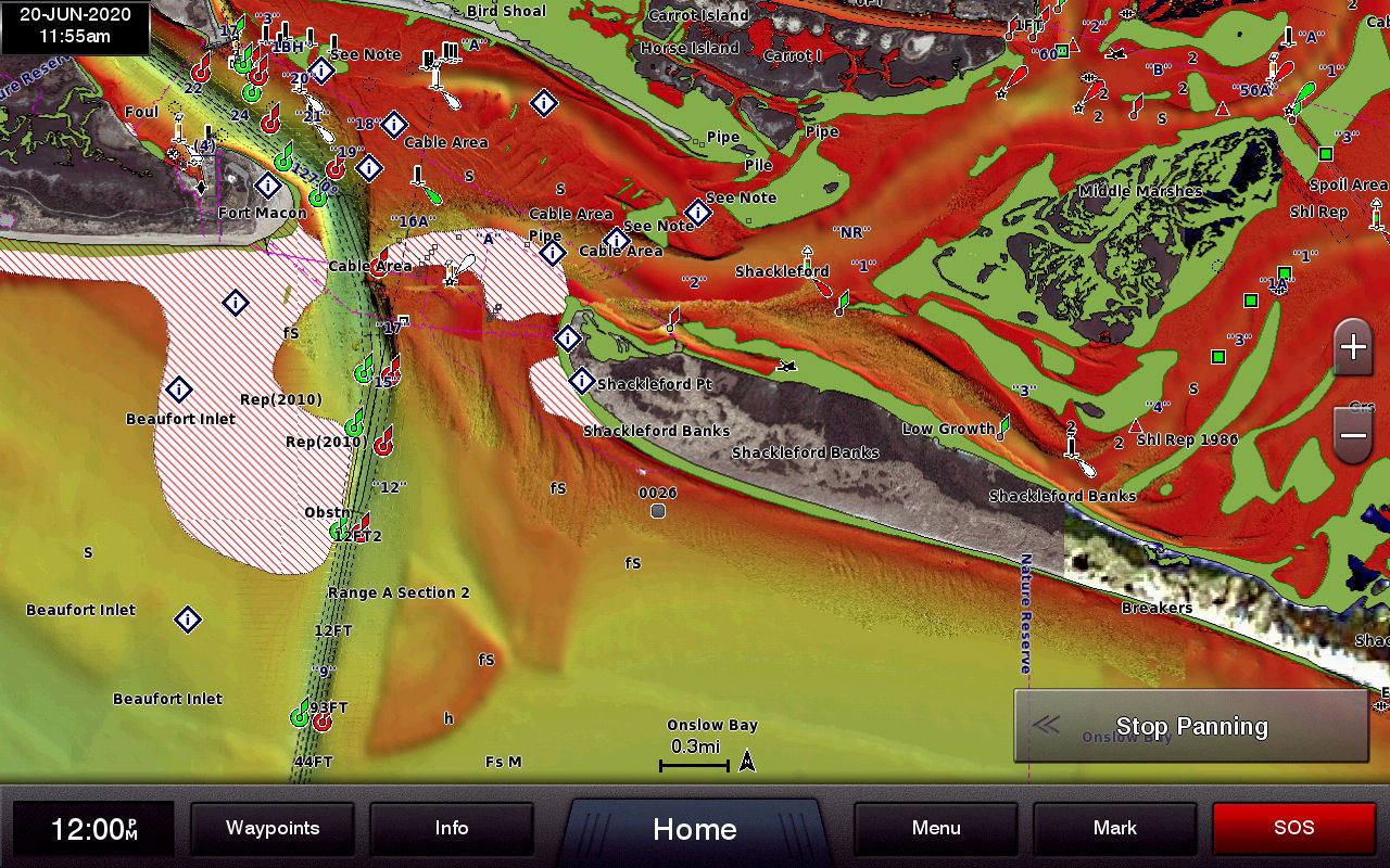
Beaufort Inlet Atlantic Beach NC
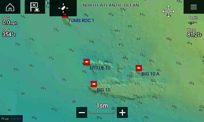
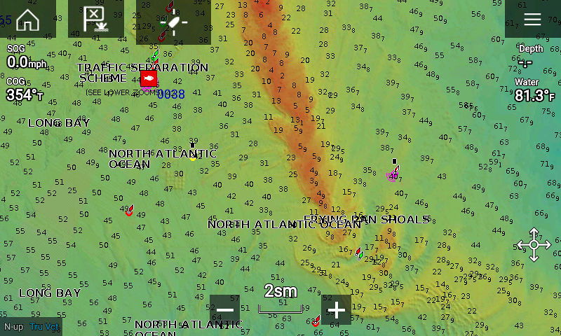
Axiom 7RV display
Garmin 7610xsv display
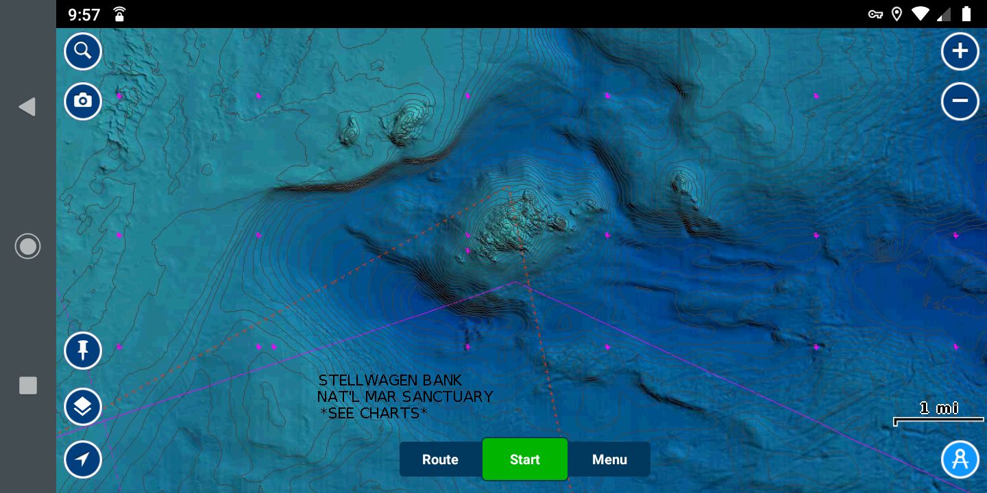
Jeffery Ledge east of Boston Wicked Tuna fishing area
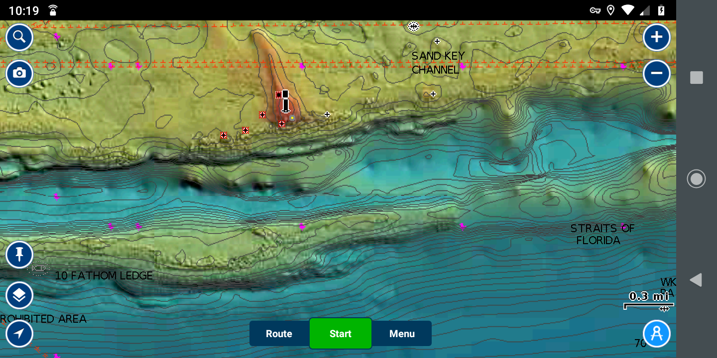
Key West Area
Navionics Boat App "Map Options Screen
To display the relief shading on your Raymarine Axiom or Axiom Pro make sure the aerials "Land & Water" are both turned on.
Big 10 Little 10 20 miles south of BI
Frying Pan Shoals area
Tom
Navionics Boat App ..... Relief Shading (area of coverage)
I apologize my 74 year old fingers are not as nimble as they used to be.
Tom
Amazing App.
It's a damn amazing app, I really love it. I downloaded it on my Garmin watch and I really get much relief. I can easily do track recording, up-to-date tide, wind forecasts, and many more other things wherever I am, its the best navigation app I ever use.
Interestng article from Garmin in regards to the Navionics & Garmin the scope of data sharing between the chart platforms (dated Sep 30, 2020)
i really liked the app
Amazing


