
Garmin Developer Zone, wow?
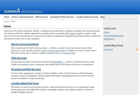
Today Garmin announced a slew of new tools meant to encourage third parties—commercial and otherwise—to interact every which way with Garmin hardware. I’m not a developer, but my quick read suggests that possibilities include writing a cell phone app that’ll get location from a Garmin GPS via Bluetooth; equipping a Web site with an easy way to up/down-load waypoints, routes, and tracks; creating a set of “Garmin Rich POIs” (GPI) from raw XML or GPX files; and more. In fact, it looks like Garmin is going to share some of the sophisticated software goodies it acquired with Motion Based, figuring, I guess, that even if other developers make something good enough to command subscriptions, Garmin will still get the hardware sales. But like I say I don’t really understand all the developer talk. So I’m hoping that those of you who do will check out the new site and report back.


This looked really neat … until you dive into the details. Then, not to detract to much from an otherwise good thing, upon close examination it does not offer much for the marine electronics users. The focus very much is around land based applications.
I was hoping this was the beginning of offering API’s where we could increase the interaction between our PC’s and charplotters, for example influence our chartplotters to display different (read “better”) or additional graphics then what appears now with AIS (maybe change the color of the contact to reflect they have right of way, show a danger zone of converging traffic to avoid, or change the color of a target to reflect the MMSI number is recognized as being in a contact list of friends), maybe allow users to click on an AIS target and hail over VHF. I can also think of a few bouys my Sirius weather (Raymarine) has information for (like wind speed and direction), that I would like the chartplotter to display all the time on my navigation map (currently only available by pointing and clicking on weather map).
… oh well, this is definitely not the start of that.
Garmin has usually provided excellent API’s and SDK’s to developers. I’ve used the iQue ones before for both Palm and Windows Mobile. They are quite good and reliable.
Any time a manufacturer provides connectivity to their device to get at internal data it is a good thing for users. As a developer, I’m very happy to see Garmin making connectivity to their devices easier. It will surely make them connect better to other devices and software because of it.
yes, but the focus in the documentation this link points too, is creating value and capabilities thru the internet … which is absent on my boat, on purpose.