EarthNC Plus, & I’m outta here…

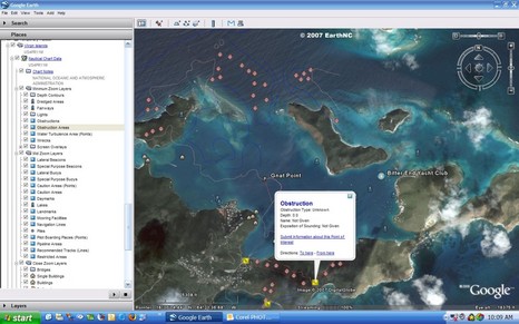
Following up on yesterday’s entry, here’s what the full EarthNC Plus looks like in my home harbor. Note the spot soundings and bathy lines. The 1:20,000 harbor chart has not become an ENC yet, but this represents all the essential data from the 1:40,000 coastal chart overlaid on what’s in many places (like Camden) the highest resolution photography available. But, of course, Google Earth’s photos live online, and as best I can tell, EarthNC Plus does not yet have a way to cache them to a laptop. Plus the suggested method of GPS navigation on these charts is Goops, which didn’t impress me.
Also, if you could see better res of the screen above, you’d see that the ENC is slightly out of register with the photos. A registration problem is much more obvious in the screen below, bigger here, though admittedly that’s a small part of a large area chart that extends outside NOAA’s area of responsibility. The real reason I chose it is to show where I’m off to for a week of PMY “meetings”. Posting may be erratic from the the Bitter End Yacht Club. I’m packing a GPS, though, and maybe I can figure which is correct, the ENC or the Google photo map. As for EarthNC Plus, I can not picture using it for navigation at this point, but I can see buying it just to encourage the developers to keep at it.


I’m online at the Bitter End, but posting is going to be really limited as I have to hump my laptop a mile or so to AP (a nice mile I’ll admit ;-). At any rate, Virgil at EarthNC sent these comments:
Caching:
GE can cache up to 2GB of imagery on the local disk (the default setting is 400mb). In simplest terms, it keeps the most recent areas you’ve viewed until it runs out of disk space and then overwrites the oldest data. GE will ask if you’d like to ‘troubleshoot’ your connection on load if it doesn’t see the internet – click ‘no’ and GE will work off the cache. 2GB can cover a decent area – especially in boating terms.
For longer cruising, you can create cache files of different areas and swap them out as necessary (and even move them between different computers). This process isn’t elegant (we’re hoping Google will make progress on this front in GE5), but it does work. I’ve written up basic instructions on cache swapping here: http://earthnc.com/forum/8 . I have some ideas on how to improve the caching process within the current GE framework, but haven’t had time to code them up yet.
GPS Support for GE:
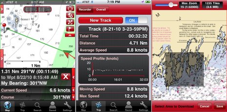
None of the existing GPS solutions for GE are really ‘navigation’ systems at this point compared to even basic chart plotters. I wrote a review of the major ones back in January – http://destinsharks.com/maps-charts/140 . Based on my experience, GooPs had the best combination of simplicity, smooth view ‘following’, and track/icon configuration. We’re looking at a clean-sheet software design for our own envisioned solution for EarthNC Pro – this will include true waypointing, routes, ETE/ETA, etc… The EarthNC charts can be used with any of the current GPS solutions.
Georeferencing:
As you noted, there are often mis-matches between GE and the marine data.
The first important note is that the coordinates in EarthNC exactly match the coordinates in the official ENCs. For good measure, I rechecked points around Camden Harbor and Virgin Gorda using EarthNC Plus vs the source ENCs in Coastal Explorer this evening. In all cases, the coordinates match exactly between the 2 programs. I also compared EarthNC vs Garmin Bluechart for my local waters out and about on my boat during testing and they always agreed relative to each other.
The Virgin Islands chart you took the screen shot of has significant mismatch problems – especially in the NE corner (around 500m in the area you flagged). Frank Taylor (gearthblog.com ) and I actually talked about this chart about a month back since he is planning a summer sailing cruise in the BVI. Based on the reasonably good match in the USVI areas, my guess is that the BVI source data is of questionable quality and that GE is likely correct. The bad news is this isn’t really an EarthNC problem – rather there seems to be a fundamental problem with the official data. Seeing the chart in GE underscores the accuracy problems. When I get time, I’ll pull up the RNC chart and check coordinates.
Testing EarthNC around Destin on my boat, I’ve found that GE is normally more ‘correct’ – although the level of difference is usually less than 10m – excepting shoreline structures which show a high degree of variability (and who knows how they derived the shoreline structures over time in any case). Today at the boat show, I walked the docks with my GPS and the track lines overlaid the dock images exactly.
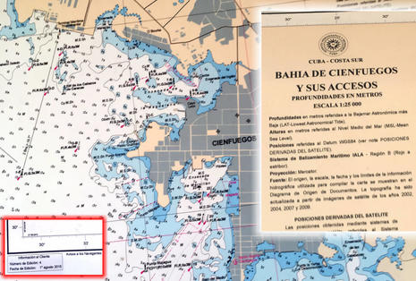
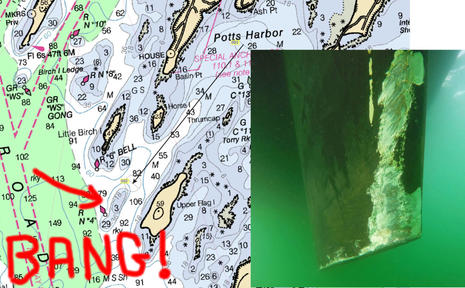
The EarthNC design process has given me a healthy amount of skepticism of the marine chart data – especially outside of the primary channels. Some charts are quite good – Miami and Galveston being examples but each chart is different. Before GE, it was much more difficult to systematically compare the chart data to ‘ground truth’. My take away is that if you are going to rely on GPS without radar in low visibility (and I’d say this is in general a bad idea for more reasons than just navigation) – seeing the marine data vs Google Earth should give pause – or at least help determine if your local chart data is up to the task.