Charts etc., we’ve just gotten started

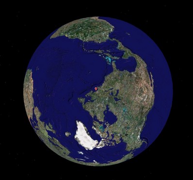
Pardon a slightly meta sidetrack, but two bits of the massive media flow got my attention. One is a Wired article about Google Earth which makes the case that the future of cartography is user data. “We’re all mapmakers now, which means geography has entered the complex free-for-all of the information age, where ever-more-sophisticated technology is better able to reflect the world’s rich, chaotic complexity.” Then there’s the news that scientists have calculated that the diameter of the globe is about 5 millimeters less than thought. Not even a quarter of an inch! Among other techniques, they used atomic clocks, quasars, and 70 radio telescopes to establish base lines, and they say that the precision they are after will help to better measure phenomenon like global warming, ocean currents, and tides. As amazed as most of are by all the information now available on a yacht’s bridge, I think we’ve just gotten started. (For some really interesting dope about related planet dimensions, and early cartography, check the beginning chapters of Nigel Calder’s How to read a nautical chart, which also has practical uses!)
PS 7/12: It turns out that Captain Richard Rodriguez, who has a thing or two to say about the Boston ferry collision (see his fine blog), has also used Google Maps to mark the most frequently hit rocks in the San Juan Islands. What I’m talking about!


Of great value for mariners would be sharing of bathymetric data. The s/w to capture the data coming in from all our depth sensors is available, but mostly way too expensive for broad use. Capturing the data, along with relevant time and location information, then sharing it, would be a vast improvement on the 100+ year old soundings we use in much of the world.
I thoroughly agree, Russ, and imagine that a good system will eventually emerge from the various early efforts of MaxSea, Nobeltec, Maptech, and Lowrance. In the meantime at least one reader is looking for just the first part, a simple way to collect geo-referenced soundings from a small boat, i.e. a small plotter/sounder combination that can save at least depth-annotated waypoints, preferably tracks. Does anyone have a solution?
Yes, we have that feature in the next release of Memory-Map Navigator. You can connect a sounder’s NMEA 0183 output to a PC or PDA, and record a track with depth info. You can then view a graph of the data, cross-referenced to the position. If anybody wants to try it, we have a beta release available now.