Chuck Berry, Ali’s butterfly, and the National Hurricane Center

Dorian is powered up and perilously close, but while the forecasting is better than ever — based almost entirely on massive data collection and modeling by NOAA — the meteorologists are still quite uncertain about the hurricane’s path. I’m thinking a lot about folks in the Abacos and in the vast areas that might be struck next, but, sorry, I’m also remembering how I managed to use Chuck Berry and Muhammad Ali in the opening paragraph of a July 2003 SAIL magazine article about visiting the National Hurricane Center in Miami.
So, yes, this entry is partially about a writer’s pride in some sentences that still seem to ring. But maybe you will agree that a couple of deeply ingrained Berry and Ali catchphrases do indeed add gusto to the dangerous dynamics of an immensely powerful weather system that can gyrate like a butterfly “with no particular place to go“:
Hurricane season this year [2003] started much earlier than usual (the first named storm, Ana, appeared on April 20, just south of Bermuda), and now, as the heart of the season approaches, almost every saltwater sailor in North America must be mindful of these awesome phenomena. Only sailors north of Los Angeles are immune, while those on both coasts of Central America, in the Caribbean, and in the southeastern U.S. are particularly vulnerable. These storms, spawned from the moist heat of tropical oceans, can generate nearly incomprehensible power—think cement blocks blowing around like gum wrappers. Yet, like jumpy Chuck Berry teens, they “have no particular place to go” and thus are steered—often drunkenly—by all sorts of other phenomena. A hurricane not only punches like Ali, but feints and spins like a butterfly. At some point this season, many of us will feel the anxiety of a seeing a storm head for the bit of coast our boat calls home, and a few will experience the total mental focus of sharing an ocean with one.

The NHC in Miami has storm shutters, antenna farms & an evacuation plan 
High tech NHC meteorologist station circa 2003 
Each clipboard is dedicated to a specific printout, NHC 2003 
NHC meterologist using highlighter to analyze weather patterns, NHC 2003
The next paragraph of that article (full PDF as printed in SAIL here) begins with “Thankfully, our government addresses the intensity of hurricanes with an equally intense vortex of technology and brain power” and thankfully that’s still true today. My photos are 16 years old, but the nearly impregnable National Hurricane Center building in west Miami is still the intense eye of data distribution and analysis — in almost every form possible to whoever wants it, free — and I’m confident that they still have a plan to evacuate the staff to a standby center in Maryland if Dorian (now Category 5) meanders like a butterfly to Miami.
The NHC’s computer equipment has very likely been updated, and maybe the awesome clipboard rack is history, but I’d wager that some of the meteorologists are still using highlighters and colored pens to help think through data and model printouts (thinking like this). And while Dorian’s future track has been especially hard to predict — though getting better now, as the models evolve toward consensus — I was impressed with what seem like new abilities to forecast the storm’s rapid intensification (learn about kilojoules of oceanic heat content mapping at the ever-excellent Cat 6 blog).
Back in 2003 the NHC had just started extending 3 day hurricane track forecasts to 5 days, but only after extensive backtesting gave them confidence that they were as accurate as their 3 day forecasts had been in 1988. I’m sure they’re still backtesting in a constant search for the favorable factors and models in different situations, and they’re certainly transparent about forecast history. The two screens above are captured from a fascinating animation of every 5 day Dorian forecast since it became Tropical Depression Five on 8/24. It terrifically illustrates all the discussion about weak steering factors and divergent track models, I think, not to mention the “no particular place to go” guitar riff.
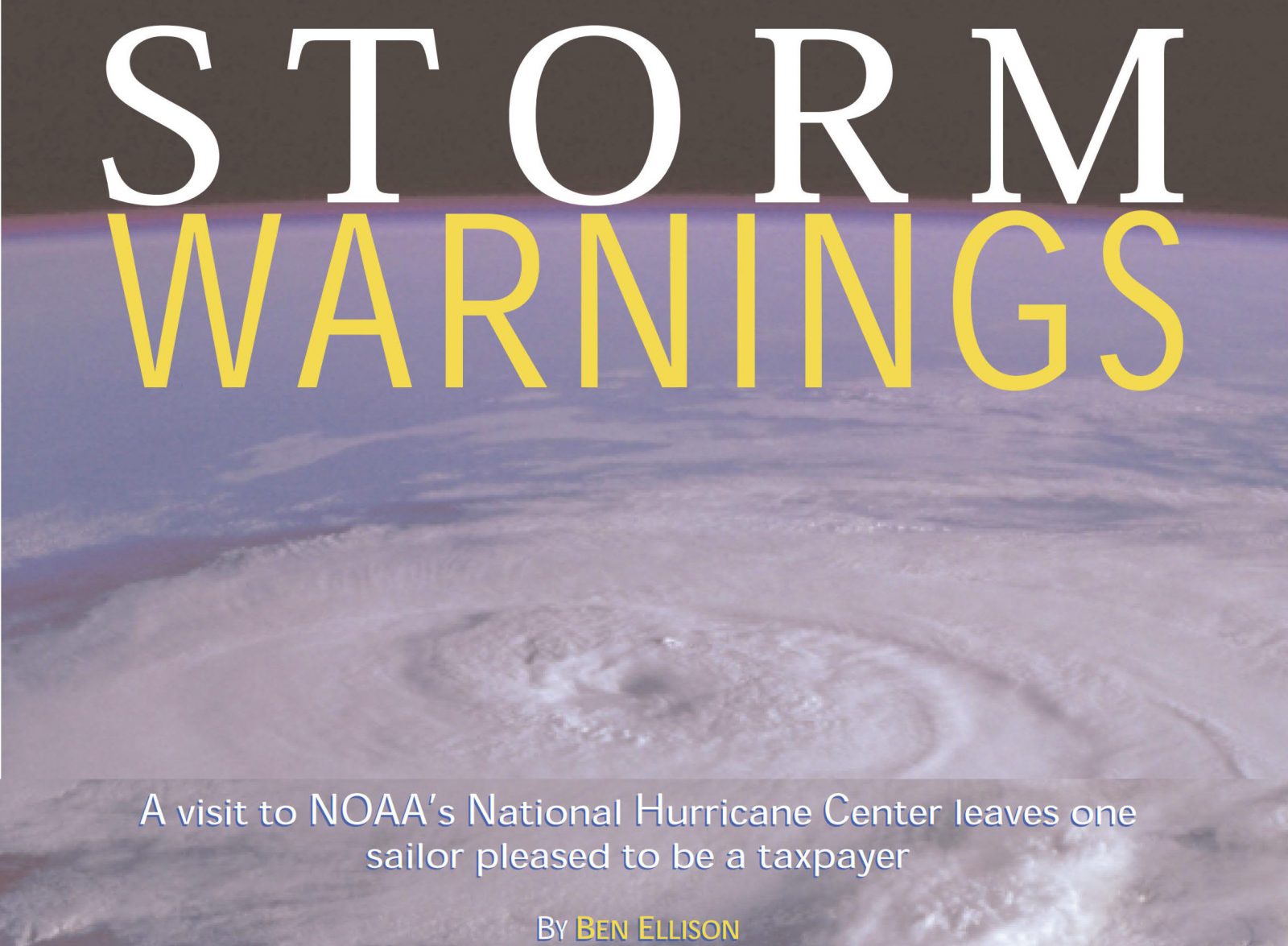
I’ll close by noting that the subtitle to my 2003 article — “A visit to NOAA’s National Hurricane Center leaves one sailor pleased to be a taxpayer” — is also still true. In fact, I think that NOAA, the USCG, and many other government agencies have value well beyond any flaky predictions or bureaucratic hassles we may experience, and I worry about their health in this political climate (check out The Fifth Risk). At any rate, thanks again for all you do, National Hurricane Center!


Very nice that Chris Parker of Marine Weather Service is doing public Dorian analysis using Facebook Live, even taking questions from boaters up and down the East Coast:
https://www.facebook.com/marineweathercenter/
The NYT has an excellent graphic explanation of how to understand the NHC 5-day track forecast (and some sad info about how much it’s misunderstood):
https://www.nytimes.com/interactive/2019/08/29/opinion/hurricane-dorian-forecast-map.html
Wired has some good reporting on hurricane prediction issues (with a lousy headline):
https://www.wired.com/story/why-hurricane-dorian-defied-forecasts-and-sank-the-bahamas/
And, OMG, the NHC 5-day forecast has become so important that our President was seen today with a version apparently altered (crudely!) to justify a tweet mistake:
https://www.washingtonpost.com/weather/2019/09/04/president-trump-shows-doctored-hurricane-chart-was-it-cover-up-alabama-twitter-flub/
Well said by NOAA Acting Chief Scientist Craig McLean, I think:
https://talkingpointsmemo.com/edblog/that-noaa-email
And holy cow!
https://www.washingtonpost.com/weather/2019/09/09/hurricane-dorian-likely-whipped-up-foot-rogue-wave-near-newfoundland/