More on POI access, Navionics weighs in

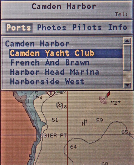
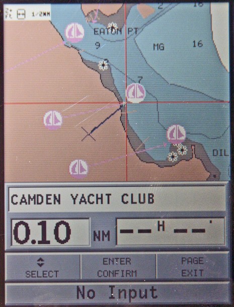
Following my whining about the clumsy POI interfaces seen on many plotters and charting programs, Navionics sent up a powerful handheld they make (but would rather not advertise here, as it’s only available in Europe). They’re proud of how easily POIs can be found and browsed, and well they should be. There are at least two ways to get a list of local marinas, for instance, and the one below graphically points them out as you page through. Once selected, the particular marina’s phone # goes into the title bar at top and right arrowing through the categories shows you what photos, Pilot book, or other info is available, and then you can drill down. When you get to, say, “other services” in the “info” section, nearby businesses with their own POI info are in blue and clickable. There are almost no dead ends, i.e. the interface doesn’t let you click for more information about something if there isn’t any (a gripe I have with Raymarine’s access to this same POI info). At any rate, Navionics made its point; a much better way to get at all this data is possible on even a small plotter. But that doesn’t make the data any more accurate. For instance, that’s not exactly where the Camden Yacht Club is (below). But some good news on that score is coming later this week. Posting will be jagged, though, as I’m on the road to points south (a little south).


