Lowrance Endura handhelds, open source?
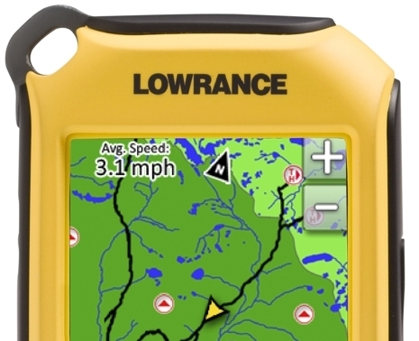
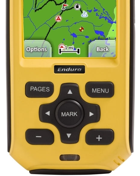
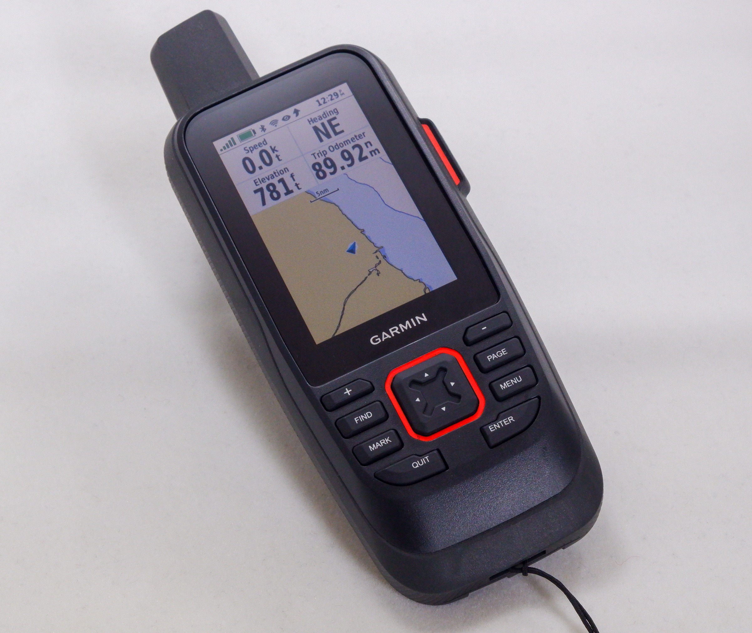
Lowrance just announced a new line of Endura touch-screen handheld GPS plotters that look like they’ll give Garmin some competition in this niche. Of particular interest, I think, is this line in the description of the Outlook model shown (it’s the base model, expected to retail at $229 when it ships in May): “Add shared web community content including routes/trails, POI’s, elevation data, etc. in GPX format through drag-and-drop to the device”…
I’m not sure what that means in practice, but the Lowrance PR guy who pointed it out to me said that this “open source” GPX feature includes transfer of the geo-tagged photos and audio that the Enduras also support. He also said that Enduras will display Lowrance nautical charts as well as lake maps (and maybe some Navionics formats, too, like the XOG). Which all sounds good. And I have heard complaints about Garmin’s lack of GPX support, though that may be old news, and I know the company is making efforts to open their devices to user-generated content (I’m now testing a GPSMap 640–pretty darn cool—and will report soon).
Meanwhile Lowrance and Garmin (and so many others) are also competing against the iPhone, and there’s an interesting marine data sharing development on that front. Fugawi has introduced a new program/service called X-Traverse that enables users of Mac and PC charting programs (like its own Marine ENC) to share data over the Internet with iNavX, the iPhone plotter (so well covered by Gram). X-Traverse apparently can also share charts and maps between apps, and could be adapted to many apps. Cool!




GPX is not “open source” but “open format” it has been used by Magellan handhelds for many year now through its Mapsend software. GPX format is the best way to keep your waypoints routes free from being held hostage by your device manufacturer proprietary format