Category: Charts

2

Raymarine’s New LightHouse OS Update Revealed

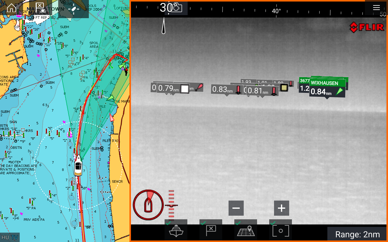
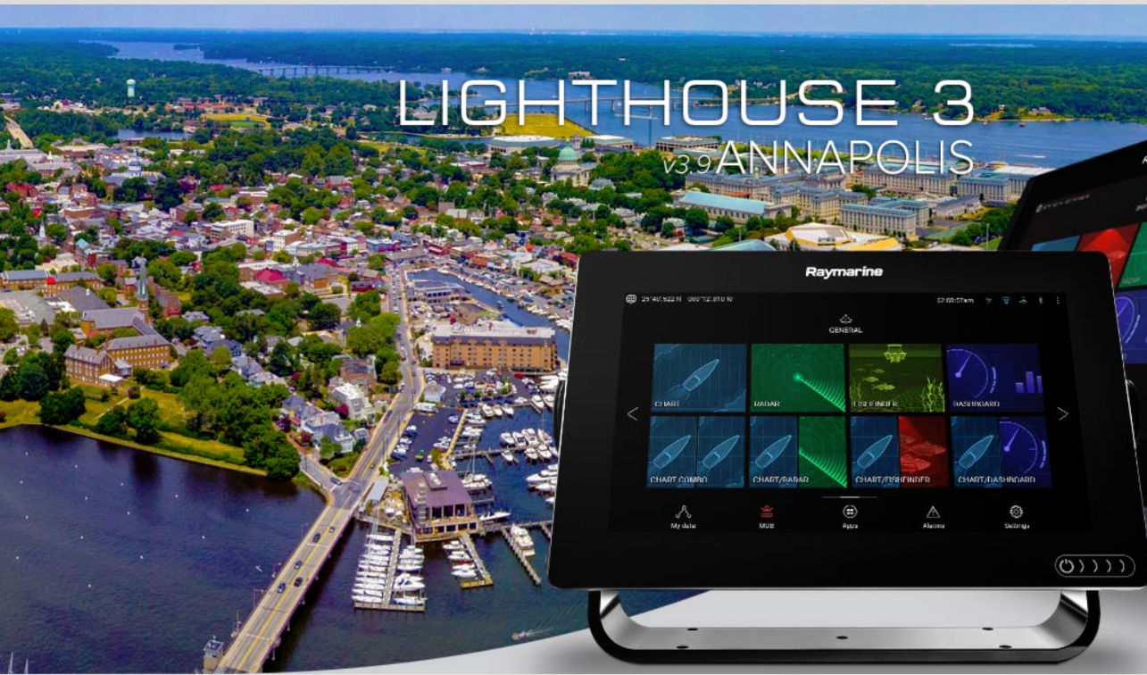
Home to thousands of boaters and steeped in rich maritime tradition, the coastal city of Annapolis is situated at the intersection of the Severn River and the Chesapeake Bay. These storied waters have inspired generations of sailors, powerboaters and fishermen to take to the sea. For these reasons and more, Raymarine has chosen to make Annapolis the namesake of its latest LightHouse operating system update…

0

New C-MAP Reveal Charts Offer the Clearest View of Structure, Wrecks, Reefs and Ledges

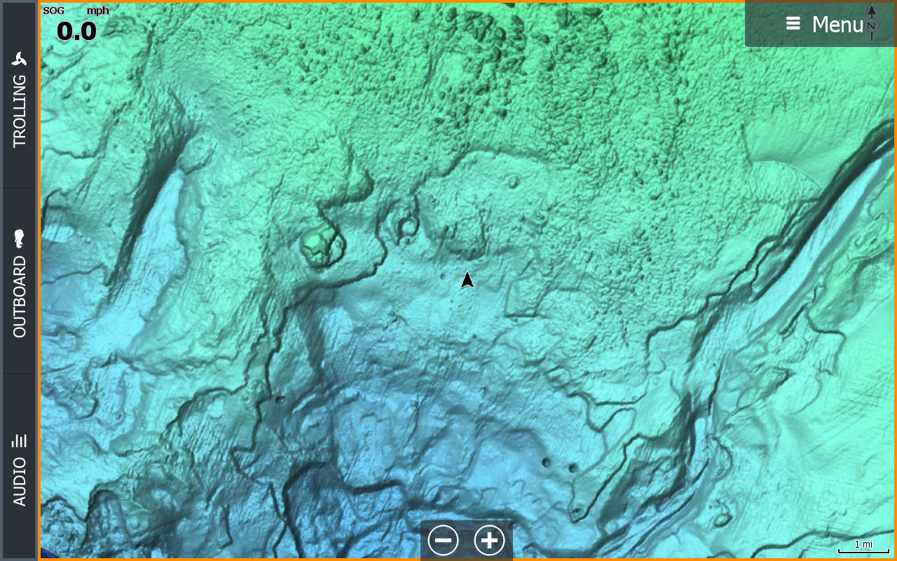
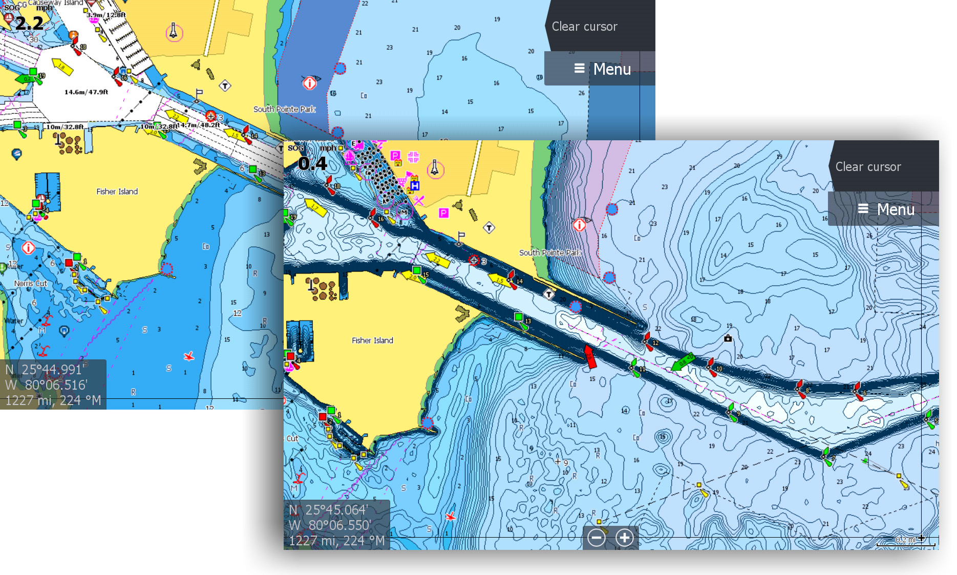
C-MAP, a leader in digital marine cartography and cloud-based mapping, announced today the release of new C-MAP Reveal charts, featuring incredible views of the sea floor – a key advantage for fishing and diving enthusiasts. This new cartography offers all the navigation data and capabilities of a C-MAP MAX-N+ card – plus ultra high-resolution bathymetric imagery of select coastal and offshore areas, including…

15

Aqua Map Master adds AIS, WiFi instrument data, USACE surveys and route explorer

Aqua Map has added a premium tier called Aqua Map Master that adds AIS overlays, data via NMEA-0183 and SignalK over WiFi, US Army Corp of Engineers survey data overlayed over charts and a new route explorer.   With Master, Aqua Map adds several features I haven’t seen on any other mobile app that I’m excited to try out.

0

iNavX Establishes Direct Partnership Between Chart Providers and Users

iNavX, the benchmark mobile marine navigation application, announced today that it will be releasing an entirely new backend system on December 1, 2018. Designed for speed, stability and security, the new iNavX backend system will replace the legacy Fugawi system, and better support iNavX users by establishing a direct relationship between iNavX and the many chart providers offered through its platform. 

0

C-Map Launches High Resolution Coastal Bathymetry

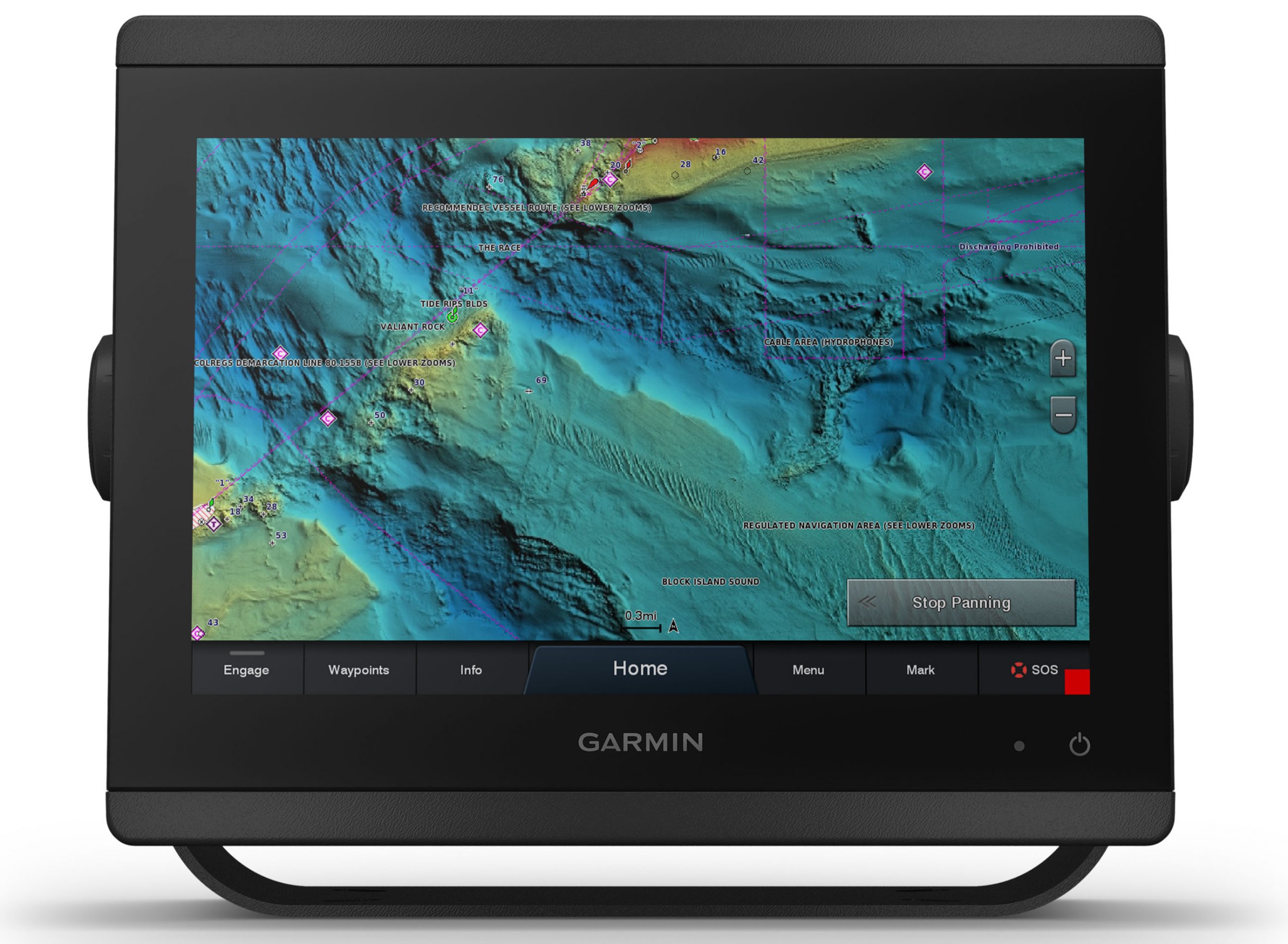
C-MAP, a leader in digital marine cartography and cloud-based mapping, announced today the release of a new feature for C-MAP chart cards – Coastal High Resolution Bathymetry (HRB). Offering anglers the latest and most detailed contour data for their C-MAP charts, Coastal HRB enhances current MAX-N+ cards with the highest resolution depth contour detail available…

2

Navico Launches C-MAP Embark, The Latest in Nautical Navigation Technology

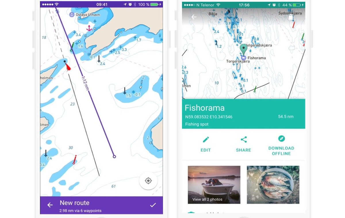
Navico, the world’s largest manufacturer of marine electronics, today announced the launch of C-MAP Embark, a nautical navigation app designed to refresh the planning, cruising and fishing experience with a clear aim in mind — to make it simpler. C-MAP Embark is powered by map data from official hydrographic offices. This data is continuously updated and augmented from thousands of data sources to help complete gaps in coastal and inland water bodies…

4

Accidental grounding, familiarity breeds complacency

My 2018 cruising started with a trip straight up Lake Michigan’s Wisconsin coast bound for Manistique, a small town on Michigan’s upper peninsula.  We had something very rare, three consecutive days of flat water on Lake Michigan.  So we made the most of the conditions and ran all three of those days for a total of 300 nm at 9 kts.  We made it the length of the lake to Manistique without incident.  Unfortunately, we didn’t make it into Manistique harbor without incident.

1

C-MAP Launches Free Chart Promotion

C-MAP, a leader in digital marine cartography and cloud-based mapping, announced today a new C-MAP Free Chart Campaign for the U.S. and Canada. Offering boaters unparalleled charting detail and functionality, premium C-MAP charts will be offered free via mail-in rebate with the purchase of select Lowrance, Simrad and B&G fishfinder/chartplotter displays through authorized dealers…