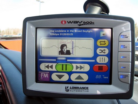
Lowrance iWay 600c, impressions #2
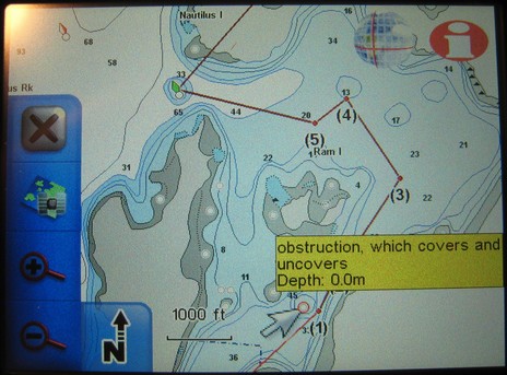
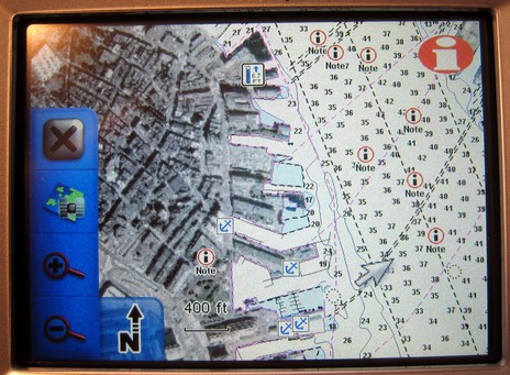
I’ve already written a bit about listening to tunes while navigating the highways on the iWay; how about boat nav? First is the good news that Lowrance has fixed the problem with “obstructions which cover”; you may recall that the “really nasty rock” above, and many like it, were not shown on earlier NauticPath charts. (In fact, the first iWay I got didn’t have them either, but when I piped up, Lowrance said the wrong files were accidently loaded, and sent this one. If you have NauticPaths, you might want to check). Note that the yellow note window popped up when I touched the symbol, and I could get a whole page of info by next touching the “i” icon upper right (ditto with the tides, notes, marinas etc. in the lower image).
Note too that tapping the “X” upper left would take me out of this pan and zoom mode and back to my vessel (or car), leaving only a map orientation button lower left. Tap that and you cycle through top down/north up (as shown), top town/course up, and 3D. This applies to any type of navigation; in fact, most everything does. Unlike some Garmins—which switch screen sets and units of measurement along with nav mode—when you go from turn-by-turn car nav to point-to-point marine nav, the only other thing that changes is your choice of cartography. Changing to knots/nautical miles isn’t even a choice elsewhere. In other words, as well as the nautical charts are displayed, boat navigation is secondary to auto nav on the iWay (for more check the manuals here). But let’s not forget the 25 gigs of goodies include nautical charts for the whole country, plus a lot of lakes, plus zillions of POIs, street maps, and photo maps. The latter cover many cities, like Boston’s North End below. (I guess I picked that spot remembering my time there a year ago, getting a little ‘treatment’. Glad that’s over.)
