HF weather broadcasts, & DMS, revisited
 When I first mentioned the USCG’s need to replace its HF weather radios, I had a hard time getting into the Document Management System (DMS) where any us can make a comment or see other people’s comments…
 When I first mentioned the USCG’s need to replace its HF weather radios, I had a hard time getting into the Document Management System (DMS) where any us can make a comment or see other people’s comments…

Above is a laptop screen from the Wheelhouse II program which is part of the Raven pilot package I discussed back in June when I got a ride on Penobscot Pilot. Skip Strong grabbed the screen from a recording of the Nor’easter outbound trip he piloted that day, and it’s well worth seeing…
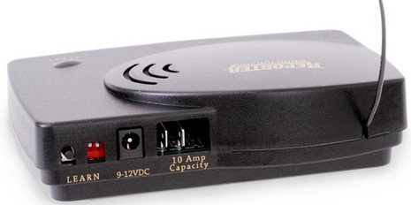
Responding to a Hull Truth discussion about the value of DSC, a cruiser anchored in Panama reported how it just helped him deal with an intruder. The full story (see 8/4/07 “update” on his site) reveals that he was alarmed about the intruder by a simple wireless motion detector designed for home use and…

I saw a lot of interest at the MBHH Show, but nothing as novel as these decorative charts with LEDs correctly displaying the characteristics of all lit aids to navigation…
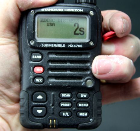
Rusty commented that the FCC may make GPS mandatory in a DSC-equipped handheld VHF, adding that he’d “rather spend $300 on a 5 watt marine portable with GPS location rather than buy one of these FRS ‘locators’ {TracMe}.” I agree completely, and even see considerable safety value in a DSC handheld without GPS. If, say,…
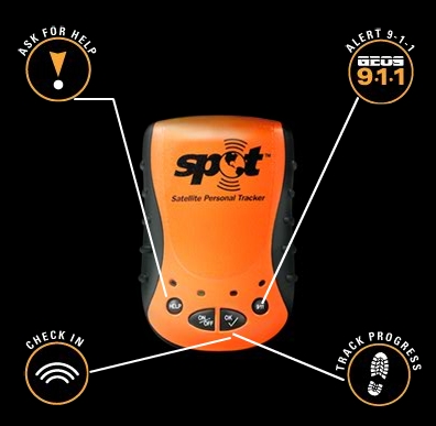
Interesting! The just announced Spot is a waterproof Globalstar messenger and GPS combo that will purportedly let you alert the authorities (at least the U.S. ones) with your position, or ask for help from your friends or just notify them of where you are, or build an online track of your travels…
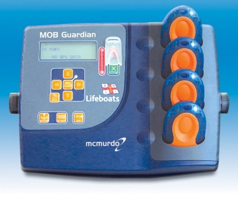
While on the subject of PLBs, MOB Guardian is an interesting combination of proactive personal MOB transmitters, like Raymarine’s LifeTag, with a satellite-based (Iridium apparently) communications station. So it can alarm both a boat and the authorities of a man overboard, or…
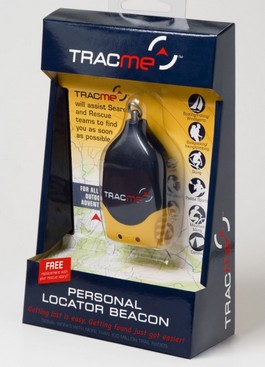
To be charitable, the new-to-the-U.S. TracMe looks to be a low cost, short range homing beacon that may have some safety value in certain circumstances. But it’s hard to be charitable about the company’s decision to market it as a Personal Locator Beacon, when it…
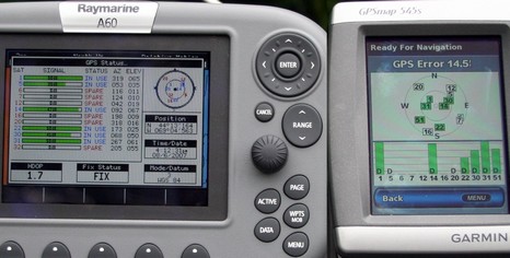
I didn’t get on the water today (my current PMY column alluding to house projects undone is true, worse than implied actually), but I did find a spot down the street that has a decent sky view to the Southwest where the new, and possibly troublesome, WAAS satellite #51 lives. Which is why—if any neighbors are reading—my truck was parked there with three chart plotters running on the cab roof for a few hours…
As a young island boy, I spent a lot of time looking at maps and charts, plotting courses to find buried treasure, and later as a way to find my way in the world. In recent years, I’ve been drawn to the strong graphic images on my GPS screen as I navigate the local waters. This piece is painted on a rudder from a North Haven dinghy, the oldest one-class design in America, donated by J. O. Brown on North Haven. The image is a loose interpretation of Rockland Harbor around The Atlantic Challenge dock area taken from my GPS map. I like the idea of combining a rudder, the part of a boat that provides direction, with the GPS map imagery that tells you where you are, so you can choose where to go.