Charts etc., we’ve just gotten started
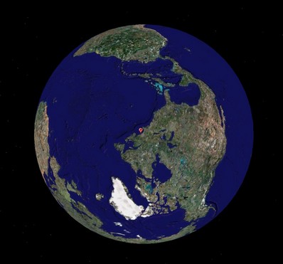
Pardon a slightly meta sidetrack, but two bits of the massive media flow got my attention. One is a Wired article about Google Earth which in part makes the case that the future of cartography is user data…
Where is this bubbling geographic/Internet stew going to take us (like EarthNC), and, in particular, what the heck else is being created nearly under my nose (like ActiveCaptain)? The latest is a rather amazing service created by one Michael Kosowsky out in the Lincolnville hills west of Panbo HQ…
Following up on yesterday’s entry, here’s what the full EarthNC Plus looks like in my home harbor. Note the spot soundings and bathy lines. The 1:20,000 harbor chart has not become an ENC yet, but...
EarthNC has come a long way since December. For one thing there is now an official Web site. And a few weeks ago the company introduced EarthNC Plus, a $50 CD package that can overlay...
I’m pleased to hear that ActiveCaptain, the “Point of Interest bomb!”, is active indeed. Yesterday developers Karen and Jeffrey Siegel announced that the free site now has over 9,000 marinas and almost 1,000 anchorages, with...
Yesterday another reader emailed, “What’s new is the fishing electronics world? It is Spring time, and we just had the salmon opener here in San Francisco!” Well, how about a C–Map MAX Coastside Fishing...
NDI, or Nautical Data International, just announced that it’s selling its exclusive right to produce and license digital versions of Canadian charts back to the Canadian Hydrographic Service (CHS), effective on March 30. It sounds like that’s the end of...
As noted earlier today, the deal went down. Above is the scene this morning at C-Map USA’s Mashpee, Massachusetts, office as Operations Manager Chris Cox and General Manager Ken Cirillo unveil their new sign. Similar events took place...
It’s a happy day for navigators when C-Map is running out of adjectives to describe how large an area is covered by its latest chart cards. The press release is not online yet (update), and C-Map’s...
Following my whining about the clumsy POI interfaces seen on many plotters and charting programs, Navionics sent up a powerful handheld they make (but would rather not advertise here, as it’s only available in Europe)....