

Category: Charts

Fugawi & iNavX & Navionics & ??, the pieces come together 15

Fugawi & iNavX & Navionics & ??, the pieces come together

iNavX new chart n map choices2.jpg

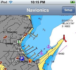
Wow, isn’t an interesting crowd of chart, map, and data suppliers gathering rapidly around the iPhone/multi-other-platform X-Traverse service?  I recently discussed the velocity of this and other iPhone-related developements, but was still surprised to learn today that Navionics is officially on board (Americas charts and U.S. Hotmaps available now, the rest of the world portfolio coming “in the next couple weeks”), Hilton’s Realtime-Navigator fishing overlays will go up on X-Traverse in May, and that “agreements are in place with several other chart manufacturers to bring expanded coverage and choice (raster or vector).”
Lake survey photo essay, thanks Navionics! 7

Lake survey photo essay, thanks Navionics!

Navionics_survey_data_check_cPanbo

That strange graphic rendered on a laptop in a car trunk stuffed with foul weather gear and winter clothing represents a terrific experience I had yesterday, and a wicked lot of work. Compare the graphic—which is actually hundreds of thousands of GPS/depth data points…

GeoCoastPilot, early adopters needed! 4

GeoCoastPilot, early adopters needed!

GeoCoastPilot_cPanbo

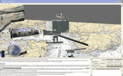
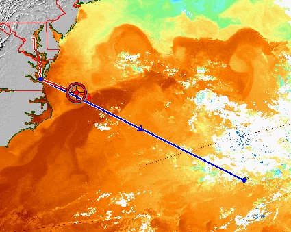
(Psssst!…back at work but need a little distraction, preferably for a good cause?)  The screen shot above is worth seeing full size, but even then doesn’t do justice to the highly dynamic GeoCoastPilot beta program I’ve been entranced with for the last hour or so…