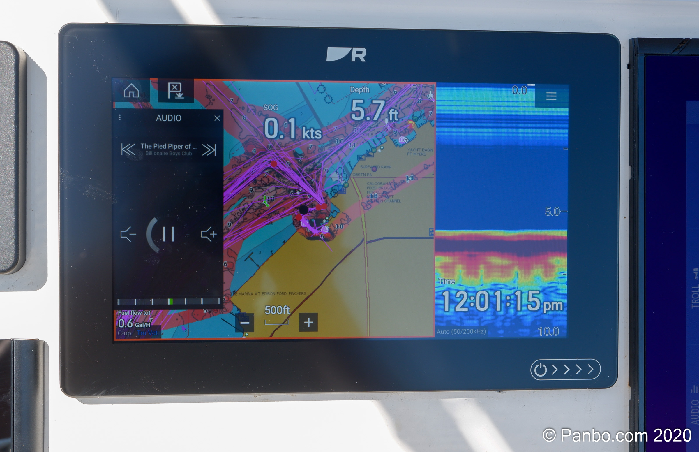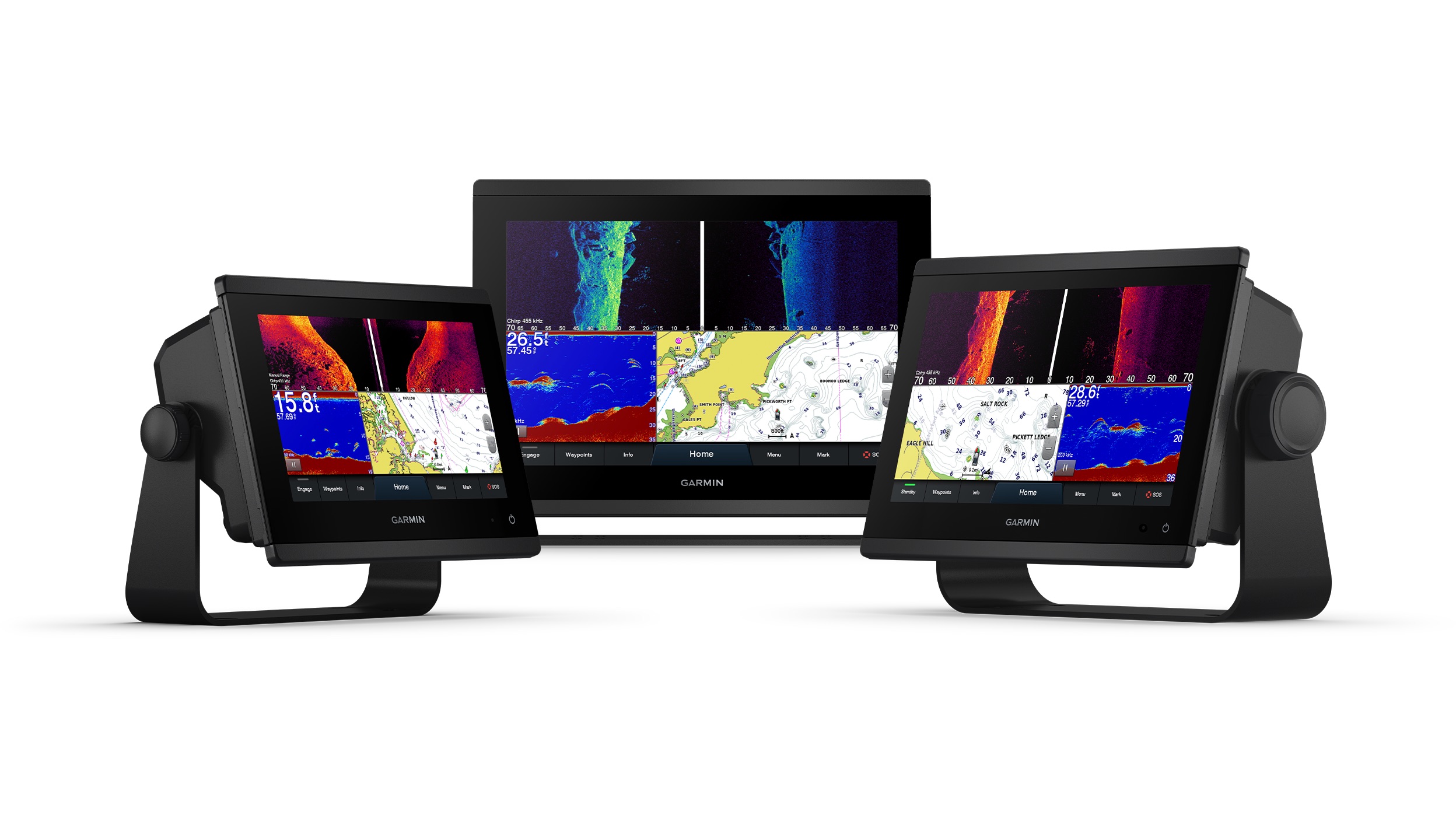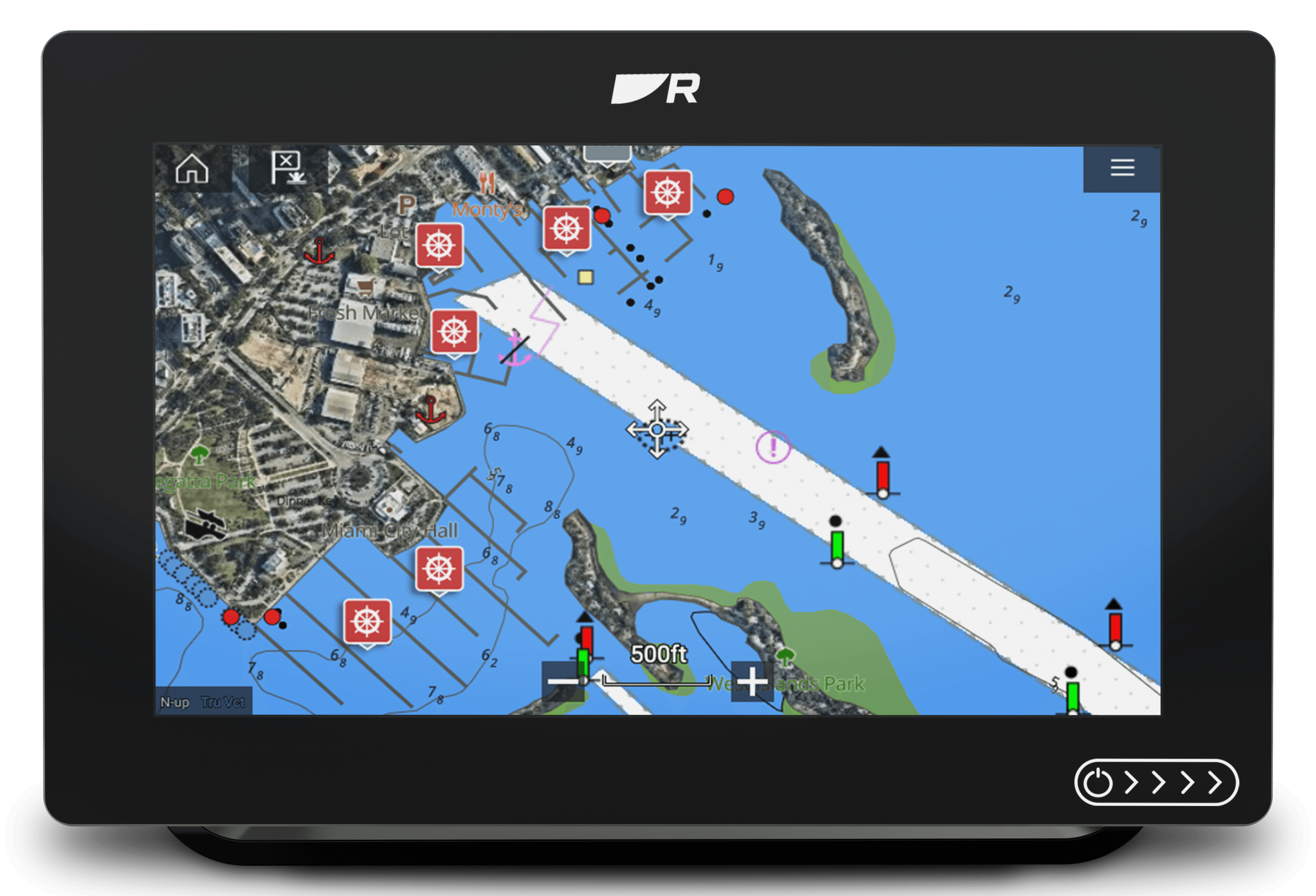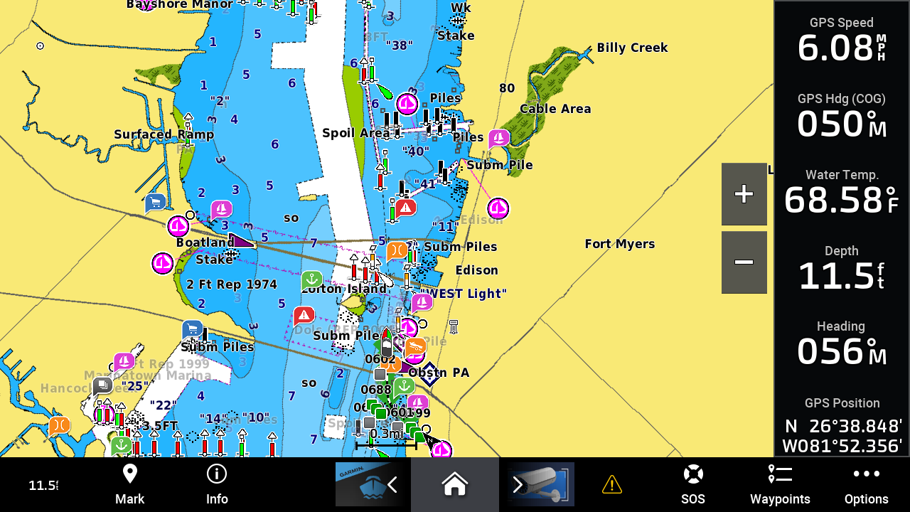
Garmin MFDs get Navionics cartography and an updated UI
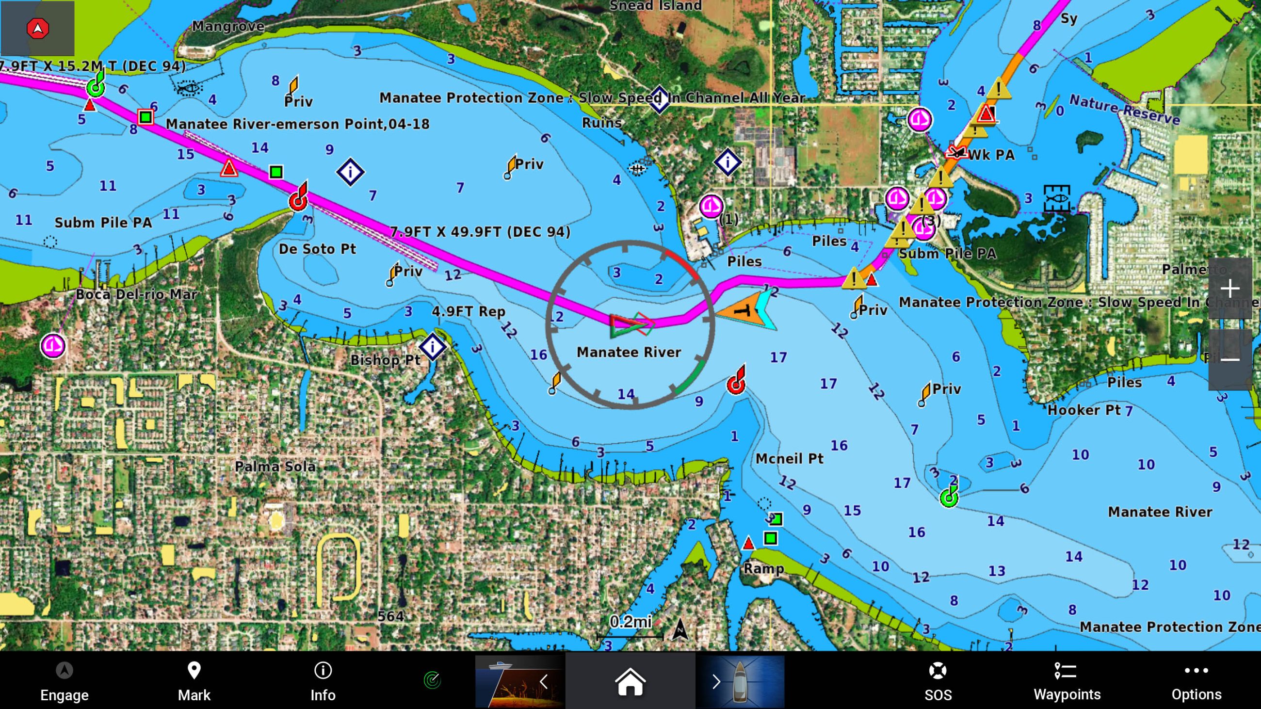
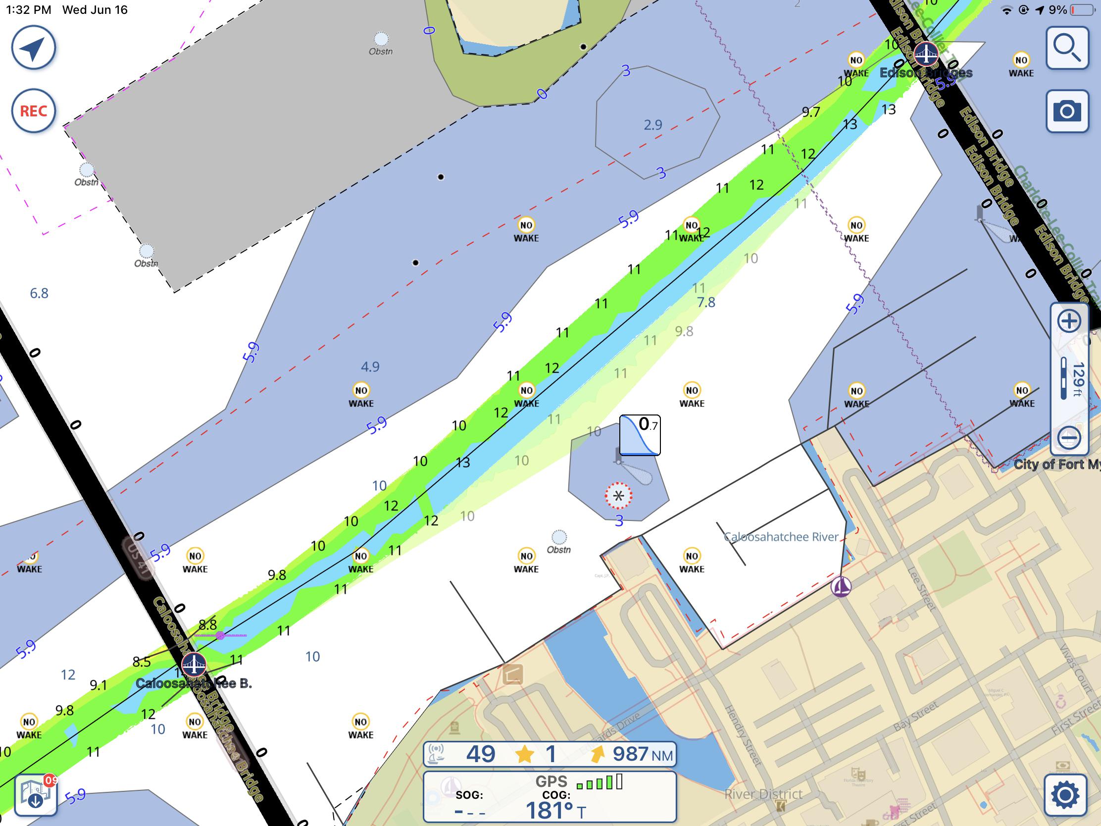
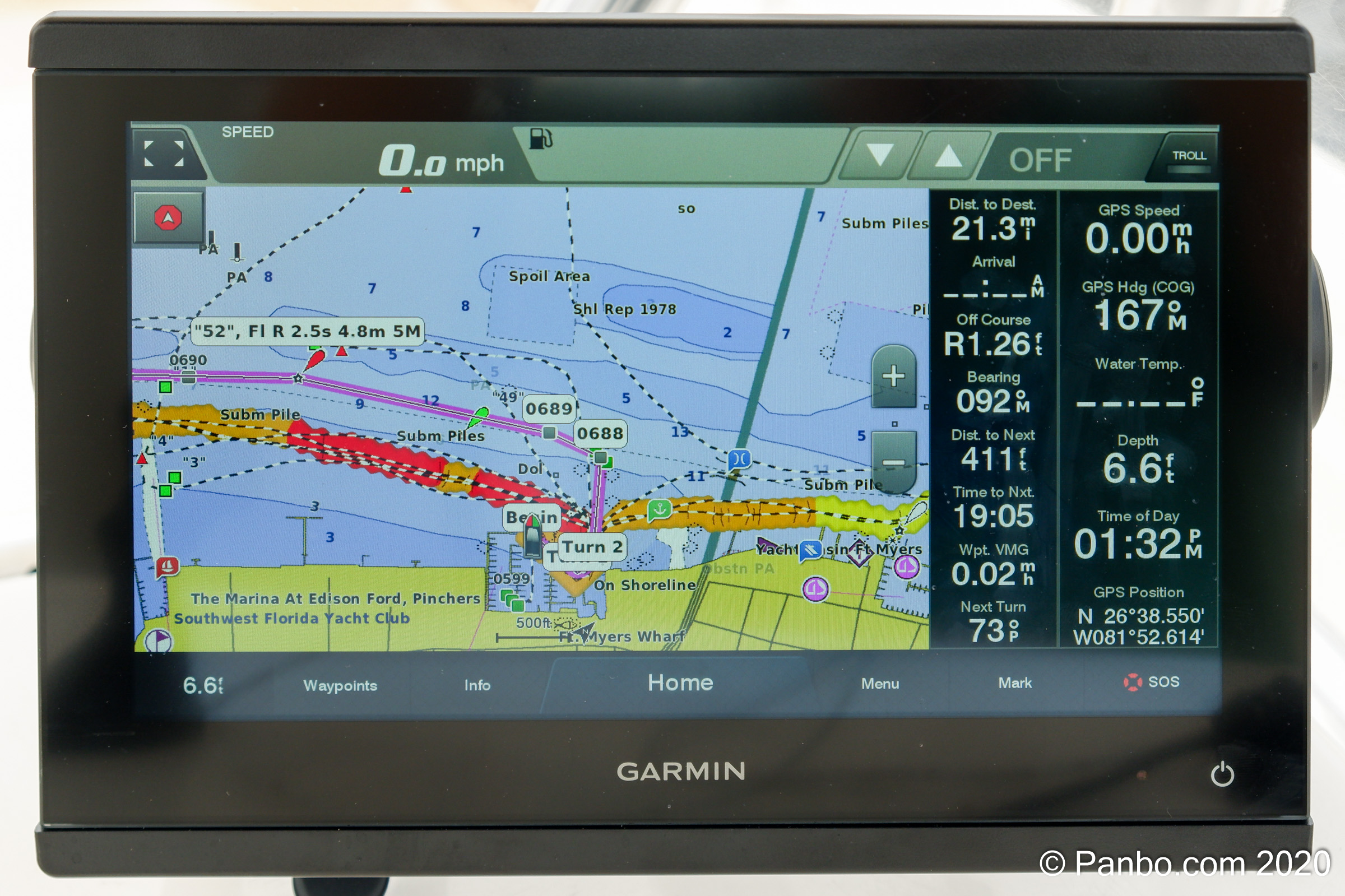
For the last several years there’s been an unusual situation with Garmin MFDs. They haven’t used Navionics chart presentation or auto-routing. Considering Garmin owns Navionics and has since 2017, that’s left many scratching their heads. Well, scratch no more. Current Garmin MFDs can now use Navionics’ charts, auto-routing, and daily updates. Plus, the ability to display the new Navionics charts is part of an upgrade to Garmin MFDs that includes an updated user interface.