Category: Charts

0

SI-TEX Marine Electronics Releases New Polaris Charts

SI-TEX Marine Electronics today announced the official release of new POLARIS Charts, a content- and feature-rich vector cartography platform developed by sister company AvMap Srl exclusively for the company’s popular NavPro Series MFDs. POLARIS Charts covering the entire United States now come bundled with SI-TEX’s NavPro 900C/F and NavPro 1200C/F MFDs at no additional cost, providing powerful, yet affordable navigation, fish finding and radar functionalities for a wide range of boats. These units combine powerful chart plotting, built-in CHIRP sonar, and Wi-Fi radar capability in one convenient and easy-to-use package.

20

Simrad NSX, an impressive debut of Navico’s next-generation platform

The Simrad NSX may be a value-oriented chart plotter in Simrad’s lineup but “value model” doesn’t tell the story of how important NSX is to Simrad’s, and Navico’s, future. NSX is the first MFD running on Navico’s Neon operating system. I’ve been using an NSX in Panbo(at) for the last several months and I’m pleased to report NSX is an upgrade from the Simrad Go it replaced in nearly every dimension. If this is Navico’s future, the future is bright.

20

Chart wars? Post acquisitions, what’s the status of charts?

It’s been four and a half years since Garmin bought Navionics and just under four years since Navico and C-Map’s corporate parents merged them. In both cases, there were statements made promising continued availability of the data on competing brands. But, would it? I’ve read comments from and talked to many boaters who are understandably nervous about access to their chart provider of choice on their navigation equipment brand of choice.

7

Raymarine Announces LightHouse 4 for Boaters

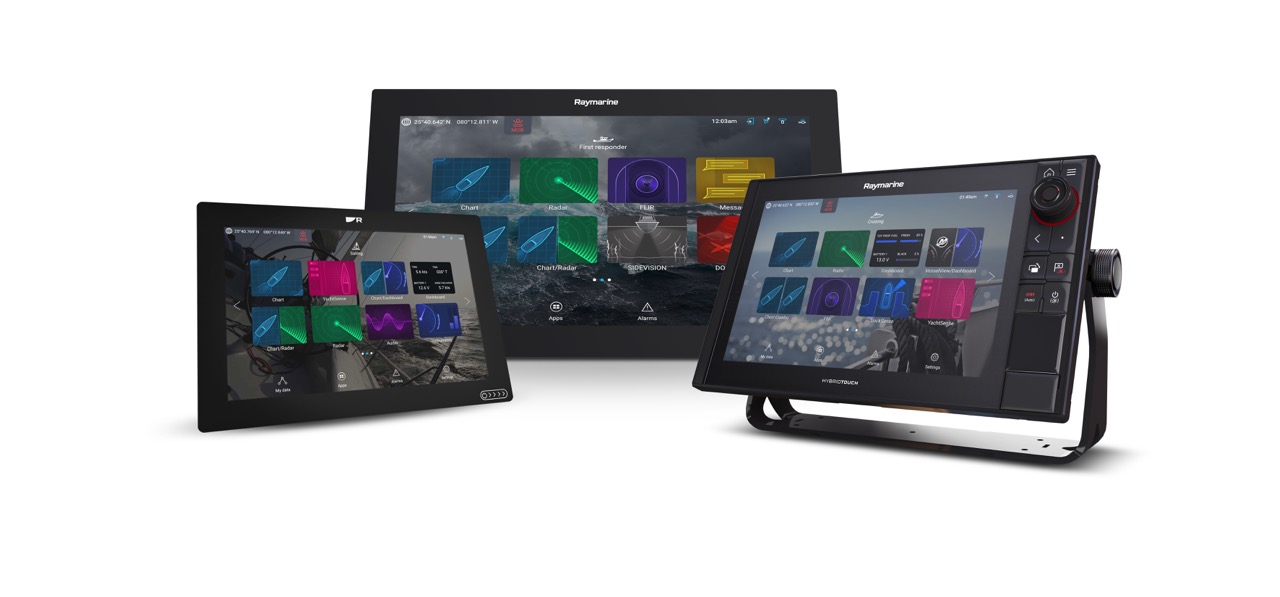
) – Raymarine announces the next generation of the LightHouse Operating System for all boaters. New LightHouse 4 delivers even easier operation, exciting personalization options, and several new features. As with all Raymarine software upgrades, LightHouse 4 is available to all Axiom, Axiom+, Axiom Pro, and Axiom XL owners completely free as a downloadable update. 

25

Garmin MFDs get Navionics cartography and an updated UI

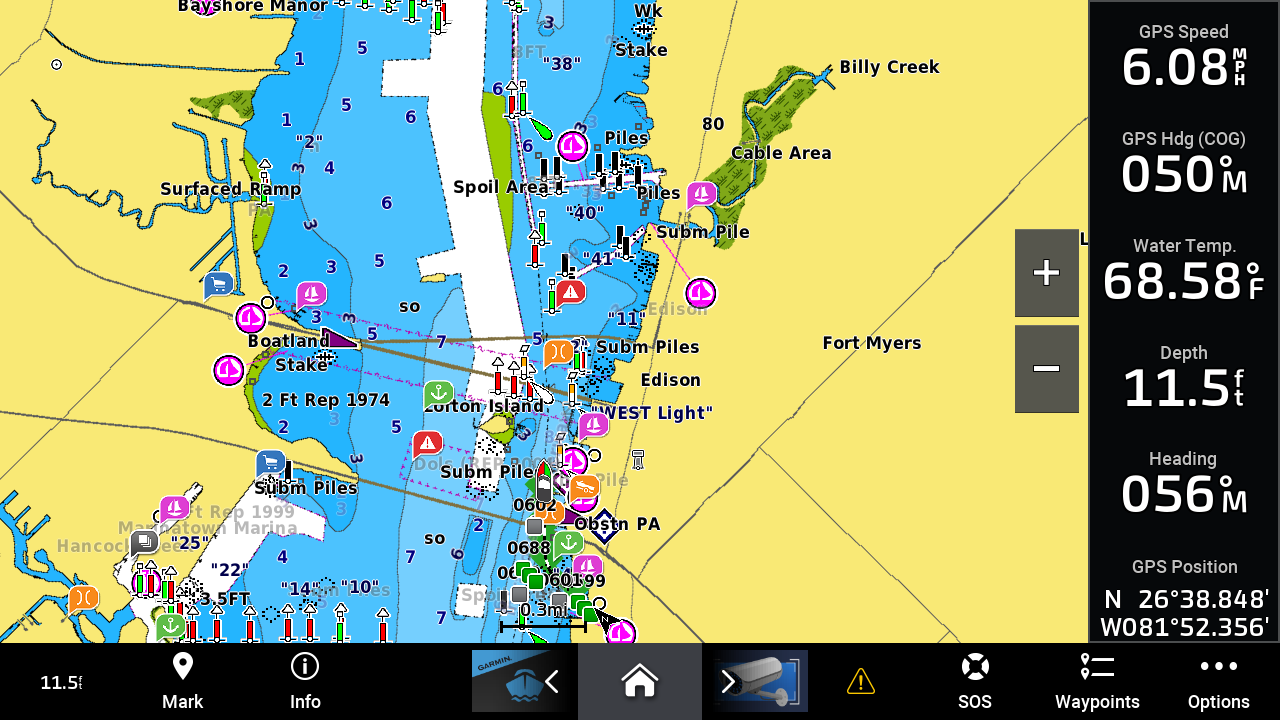
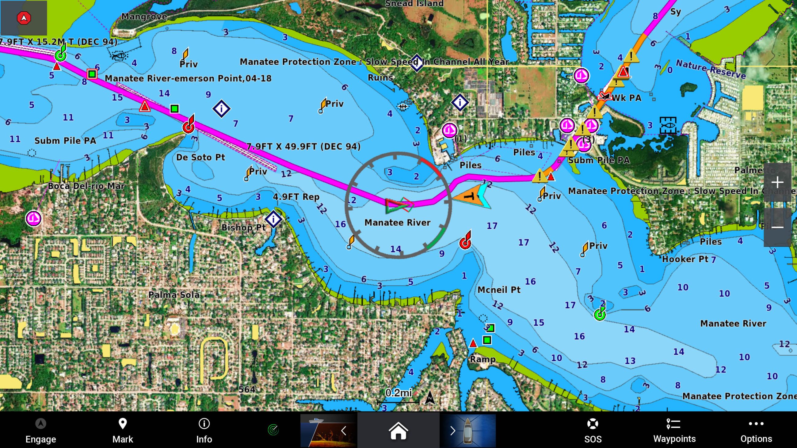
For the last several years there’s been an unusual situation with Garmin MFDs. They haven’t used Navionics chart presentation or auto-routing. Considering Garmin owns Navionics and has since 2017, that’s left many scratching their heads. Well, scratch no more. Current Garmin MFDs can now use Navionics’ charts, auto-routing, and daily updates. Plus, the ability to display the new Navionics charts is part of an upgrade to Garmin MFDs that includes an updated user interface.

20

Plot your paradise with new Garmin Navionics+ marine cartography

Garmin International, Inc., the world’s largest1 and most innovative marine electronics manufacturer, today announced Garmin Navionics+ and premium Garmin Navionics Vision+ for Garmin chartplotters, the newest generation of marine cartography products from Garmin. Wherever mariners choose to plot their paradise, new Garmin cartography products offer an all-in-one mapping solution that integrates detail-rich inland and offshore content, as well as a variety of tools to support smarter and safer navigation.

3

Aqua Map updated with no-wake zones, live sharing, and more

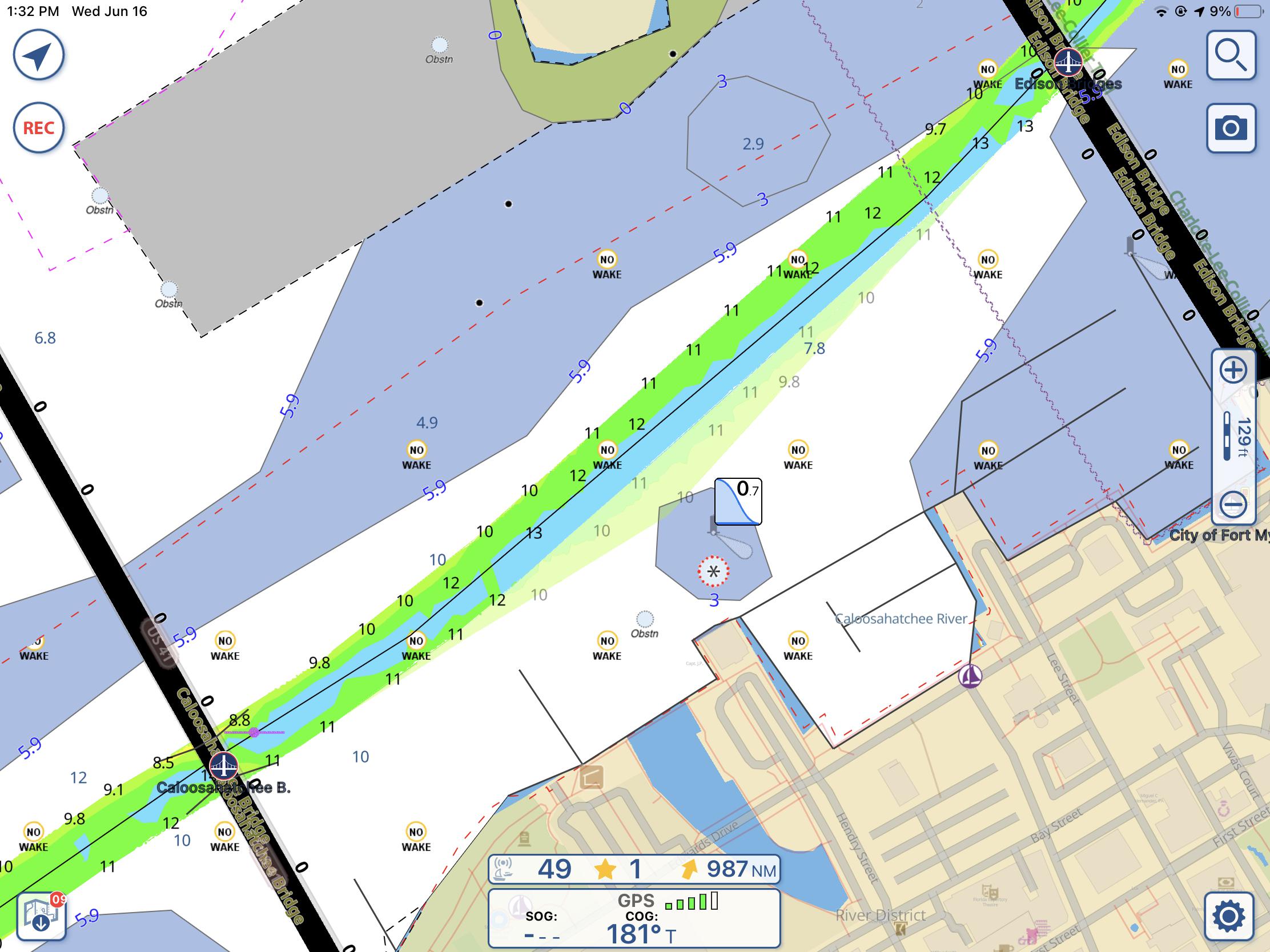
Two recent Aqua Map upgrades have brought several new features and the ability to share your location with other Aqua Map users. Aqua Map now displays no-wake zones, artificial reefs, and the state of Georgia’s restricted anchoring zones. Although it might not seem like a major feature, I’m most excited about the ability to display no-wake zones.

58

Garmin GPS 24xd: inexpensive Heading data to stabilize charts, radar, and AIS

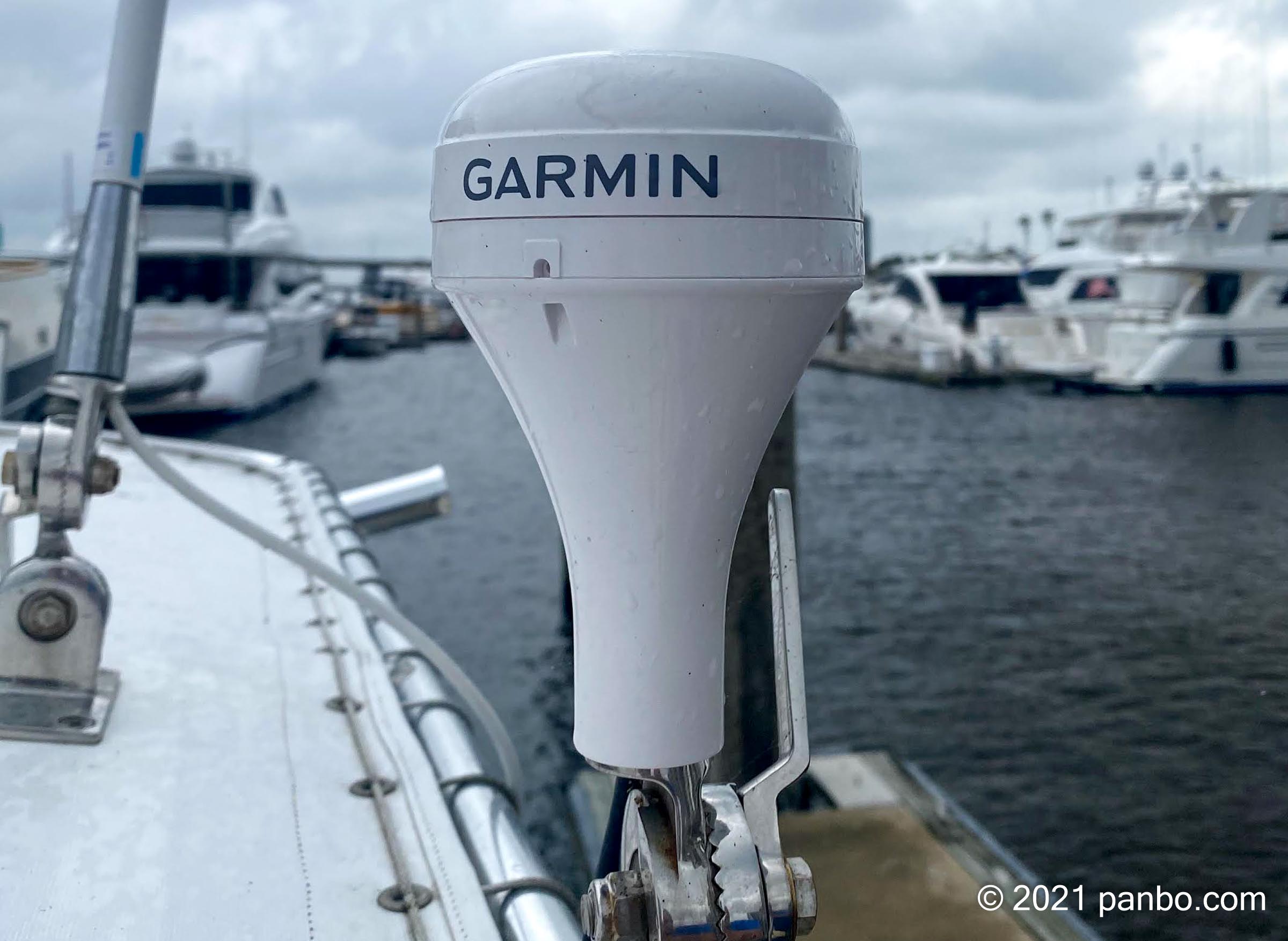
The Garmin GPS 24xd combines a high-performance GNSS receiver with a heading sensor though it only costs $50 more than their GPS 19x GNSS receiver. Thus it can inexpensively stabilize chart and radar views on your MFD while also ensuring that your boat’s AIS target is headed in the right direction even when it’s tied up. I’ve been testing one, successfully, and also investigating why the GPS 24xd is not a good replacement for a more accurate, faster-updating, and likely better located Heading sensor that’s appropriate for autopilots and radar ARPA/MARPA calculations.

20

Garmin GPSMap 943xsv hands-on, X3 delivers

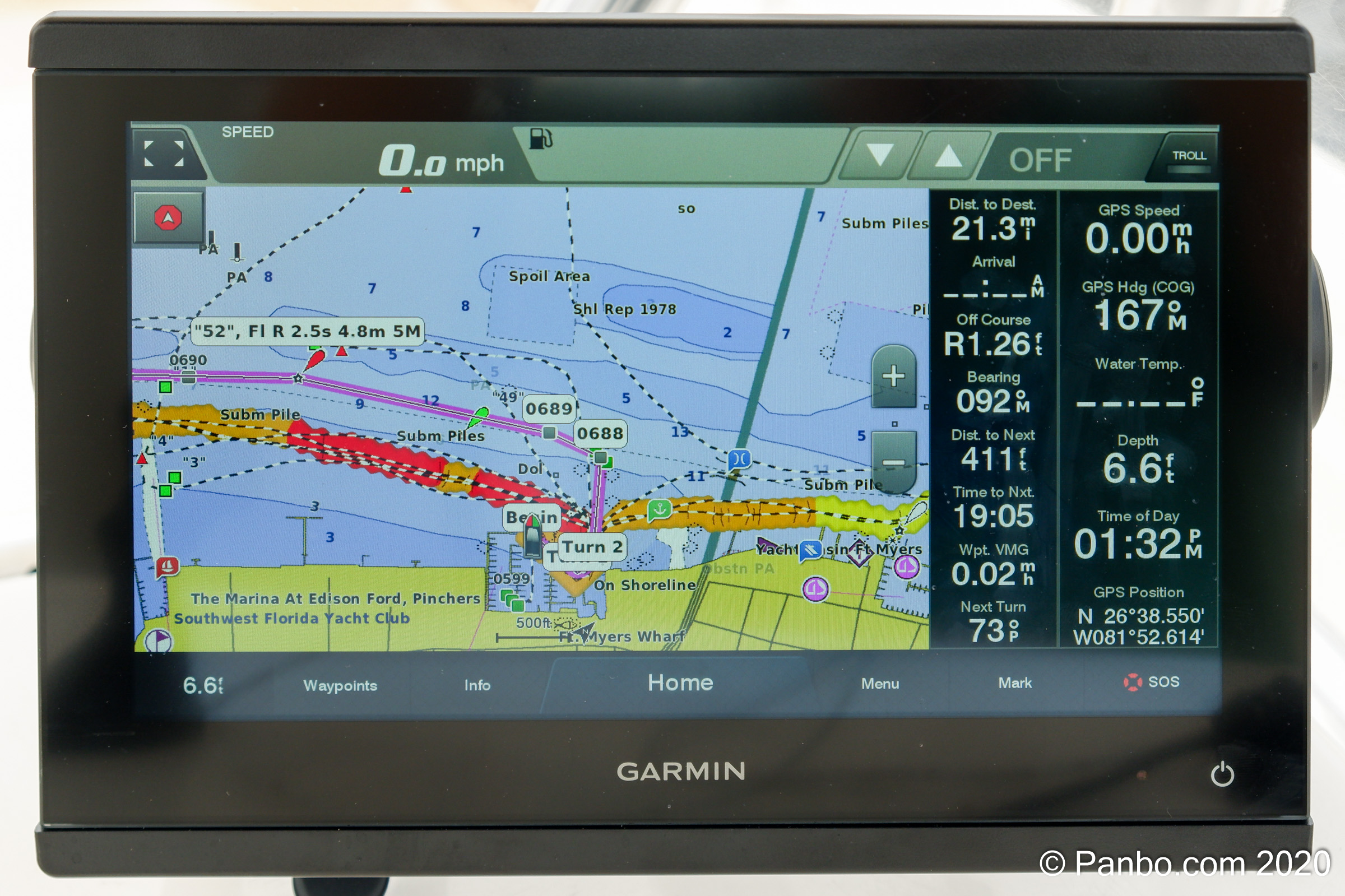
Last November Garmin announced new X3 versions of their mid-tier 7, 9, and 12-inch GPSMap multifunction displays (MFDs), claiming higher resolution displays, twice the processing power, and more features compared to the X2 models they replace. I installed the GPSMap 943xsv — the “3” is what’s new, while “xsv” indicates all the sonar processing built-in — and can report that it works well. And I remember how responsive an X2 series 1242xsv was. I expected an X3 to be an improvement on an already highly capable unit, and I wasn’t disappointed.