Category: Navigation

3

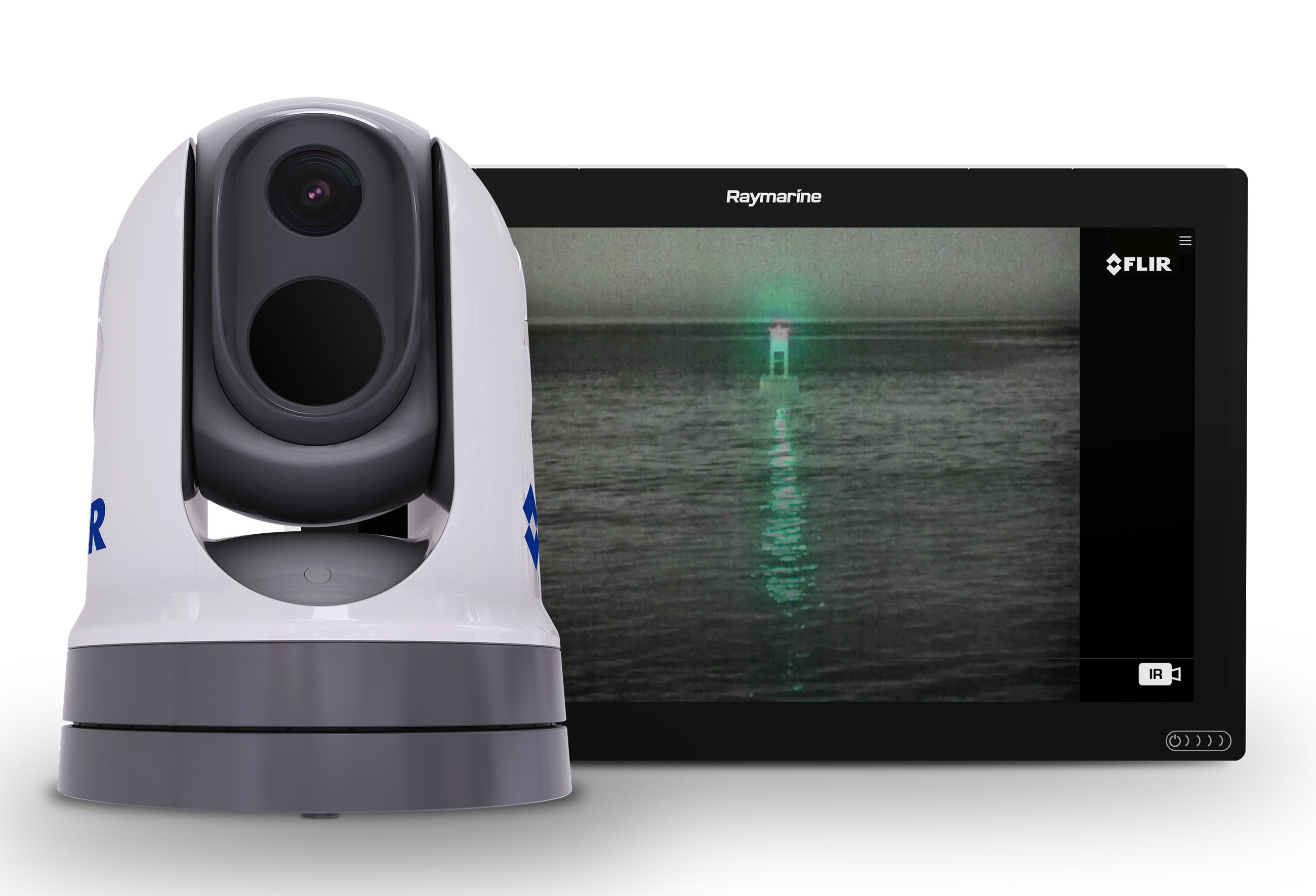
FLIR Introduces M300 Series Marine Cameras

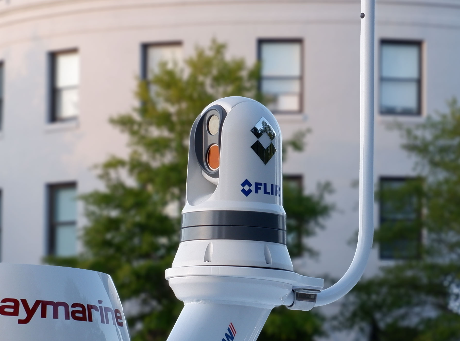
FLIR Systems today announced the FLIR M300 Series, a new generation of maritime thermal cameras delivering advanced awareness-enhancing technologies, safer navigation, and seamless integration with onboard boat systems. FLIR M300 Series cameras are designed for the most demanding professional mariners and first responders who operate in the harshest marine environments.

4

Navionics Boating app adds AIS target vectors and ActiveCaptain Community updates

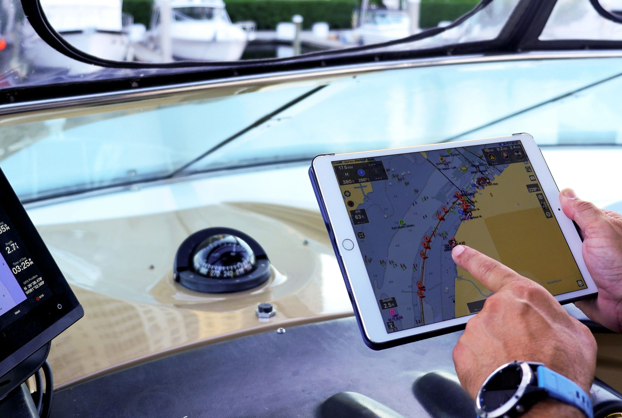
In a recent blog post Navionics announced they’ve added vectors to AIS target displays and the ability to edit rate and review ActiveCaptain Community points of interest (POIs). It looks like Navionics is making good on their promise of rapid improvements to their AIS features.

0

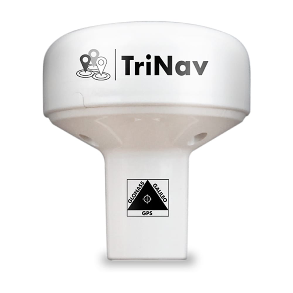
Digital Yacht launch GPS160 TriNav Positioning Sensor

Digital Yacht have unveiled their TriNav GPS160, a new, high performance positioning sensor using GPS, Glonass and the new Galileo satellite systems for exceptional positioning accuracies and redundancies. Typical accuracy is better than 1m and data can be set to output at up to 18Hz for smoother plotter track displays. TriNav software technology also improves positioning vulnerabilities that could occur through spoofing and local interference.

5

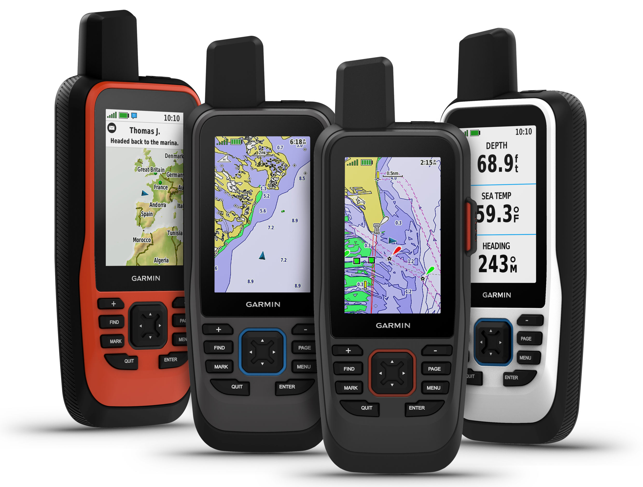
Garmin unveils the all-new GPSMAP 86 marine handheld series with global communication, BlueChart g3 and chartplotter connectivity

Garmin International, Inc., a unit of Garmin Ltd. (NASDAQ:GRMN), today announced the all-new GPSMAP 86 handheld series, a feature-packed addition to its popular marine handheld collection. Combining Garmin’s premium GPS navigation with inReach satellite communication technology1, the flagship GPSMAP 86sci is the first handheld to come preloaded with Garmin BlueChart g3 coastal cartography with integrated Navionics data. For added awareness and convenience, the GPSMAP 86 series can connect to onboard Garmin chartplotters and instruments to stream…

17

Dedicated Depth display, NMEA 2000 the best way?

I enjoyed this Bill Morris article at OceanNavigator.com even though he pokes fun at skippers like me. For one thing, he does it gently and well, as in his elegant second paragraph…I also agree with Bill that a dedicated depth display is a key navigation tool, regardless of what else you’re using. But then again I think that there are better ways to do it than he advocates, and…

2

Doppler radome testing tease: they’re all good

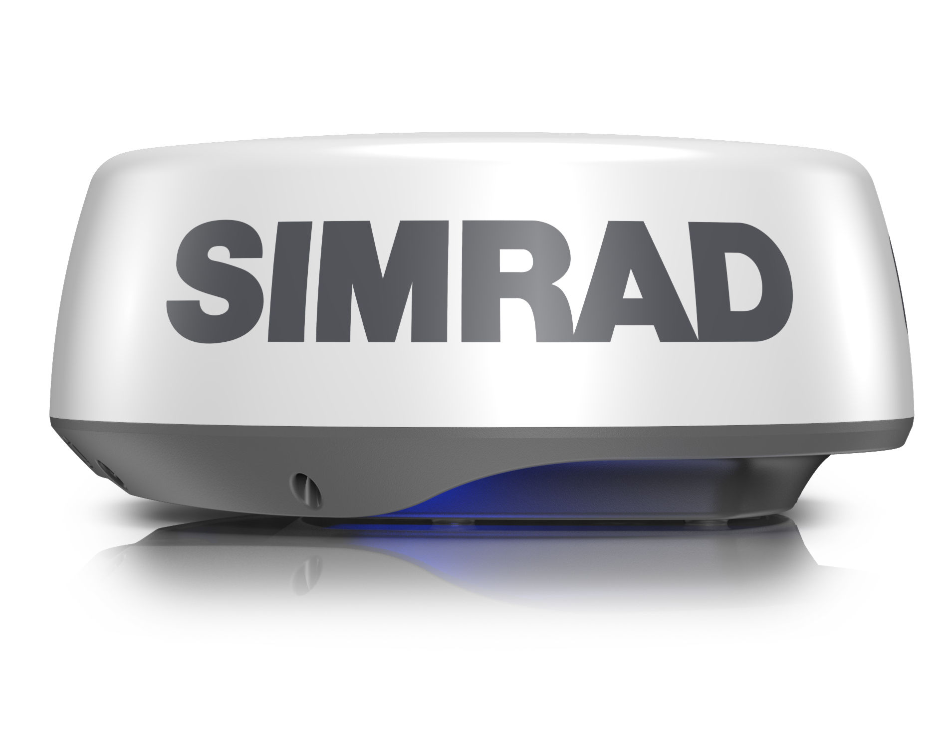
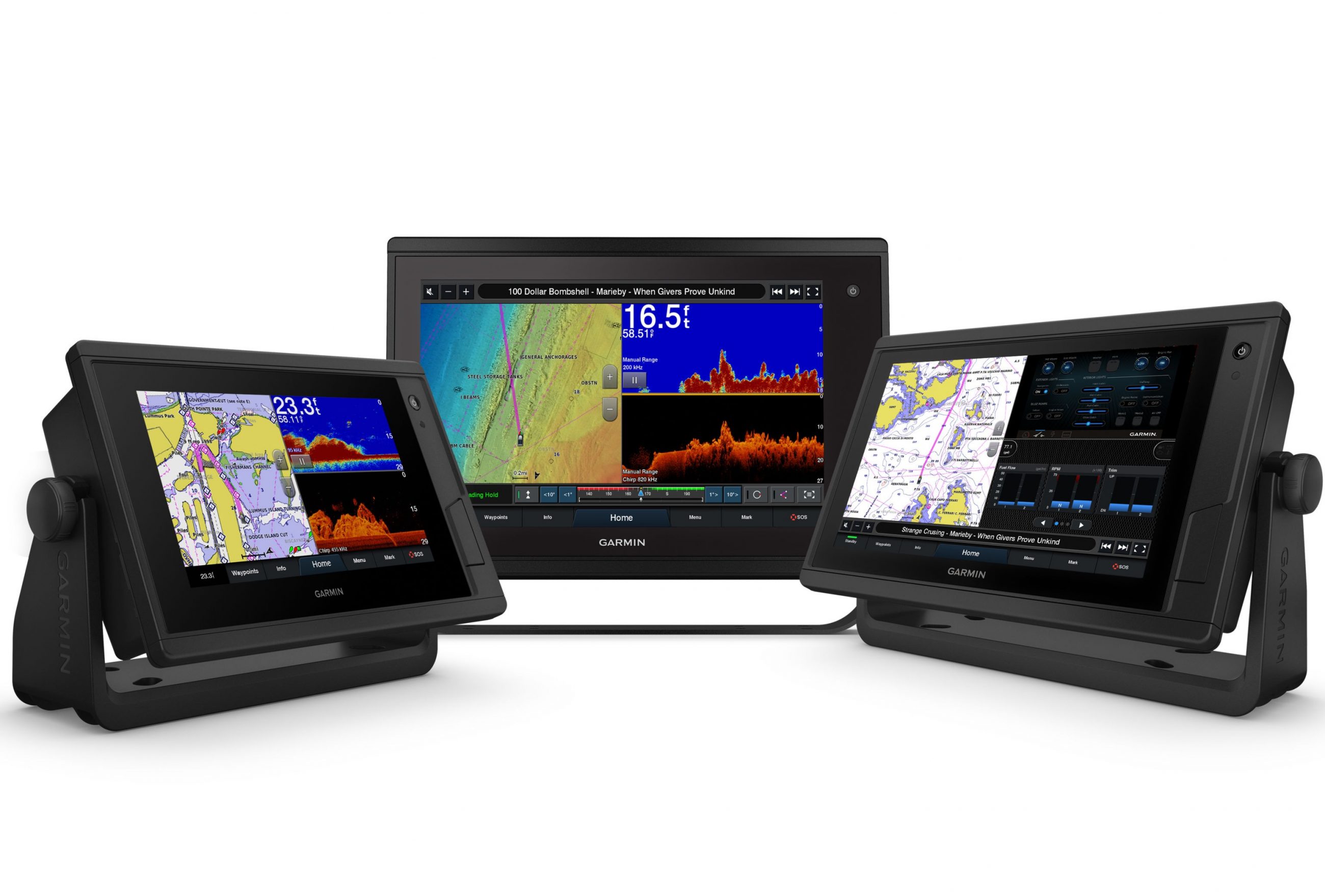
The picture tells much of the story. In rain and fog, the three 7-inch Garmin, Simrad, and Raymarine multifunction displays are each showing their respective solid-state Doppler-assisted radomes capturing well the complexity of Rockland Harbor moored vessels and shoreline while also automatically highlighting the most significant moving object…

3

Flir thermal cameras get Raymarine ClearCruise Augmented Reality

Raymarine’s ClearCruise AR (augmented reality) is very cool technology and it’s getting even cooler with support for pan and tilt thermal cameras. Clear Cruise AR overlays information about chart objects, AIS targets, and waypoints over a camera image displayed on Raymarine MFDs. Though the first version — unveiled at IBEX in the fall of 2018 — only supported fixed visible light cameras, I’ve thought its greatest value would come when overlayed on thermal images.

31

My Garmin GPS 45 was amazing in 1994, and it still works (mostly)

Discovering that my old Garmin GPS 45 still works was especially nostalgic because Gizmo and I were returning from WoodenBoat School, one of the first places I used it 25 years ago. Many memories that far back are foggy, but it’s easy to recall how much this wonderful gadget helped me to stay safe and relaxed even when trying to teach beginners how to sail and navigate in big tides, cold water, and real fog…

1

FLIR introduces Raymarine Element S navigation displays

FLIR Systems announced today Raymarine Element S, a new series of navigation displays for cruisers and sailors. Building on the success of FLIR’s Raymarine Element HV Series with HyperVision sonar, the Element S models feature a superior all-weather display, best-in-class speed, and straightforward operation, while delivering confidence-inspiring GPS navigation to captains who don’t want or need the capability or extra expense of sophisticated sonar.​

3

Dinghy as depth scout with Garmin QuickDraw Contours

My boating career started in the generally deep waters of the Great Lakes where the prevailing wisdom is: If you can’t see it, you can’t hit it.  But cruising the Great Loop taught me the perils of shallow water boating, especially because our props hang lower than any other part of the hull by two feet.  So I’ve gotten creative in an effort to make shallow water boating involve fewer clunks of running gear meeting bottom, and the most effective technique I’ve found so far is advanced scouting with our dinghy using the QuickDraw bottom survey feature of its Garmin Echomap 64cv.