Category: Navigation

2

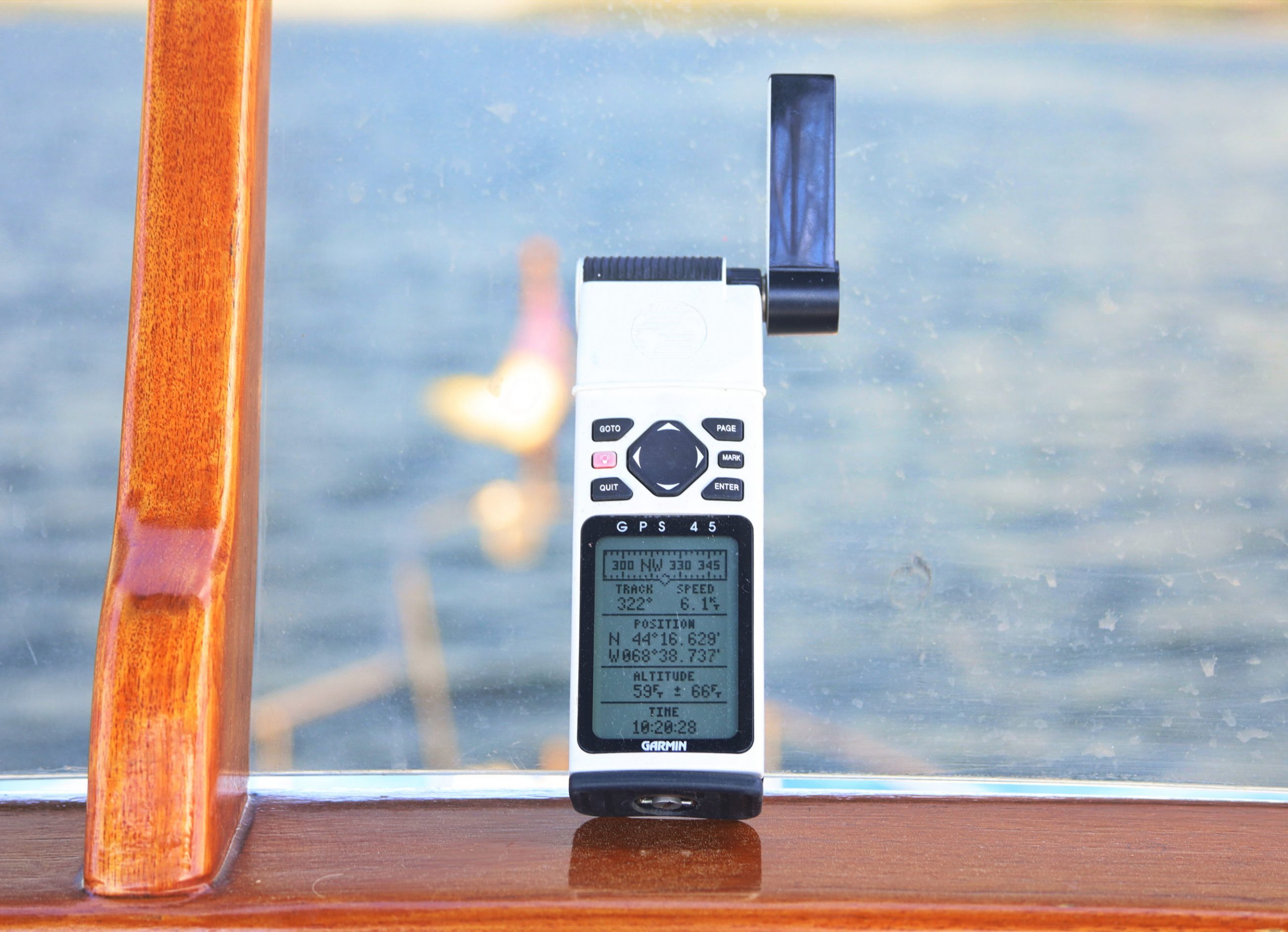
Doppler radome testing tease: they’re all good

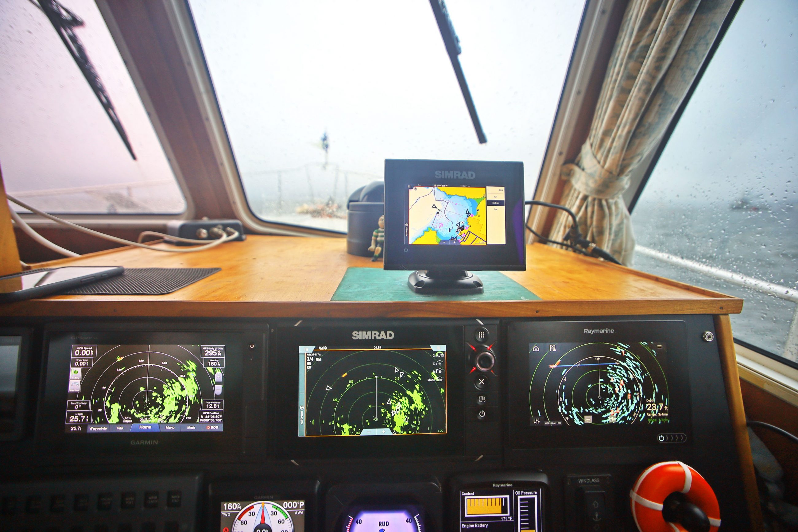
The picture tells much of the story. In rain and fog, the three 7-inch Garmin, Simrad, and Raymarine multifunction displays are each showing their respective solid-state Doppler-assisted radomes capturing well the complexity of Rockland Harbor moored vessels and shoreline while also automatically highlighting the most significant moving object…

3

Flir thermal cameras get Raymarine ClearCruise Augmented Reality

Raymarine’s ClearCruise AR (augmented reality) is very cool technology and it’s getting even cooler with support for pan and tilt thermal cameras. Clear Cruise AR overlays information about chart objects, AIS targets, and waypoints over a camera image displayed on Raymarine MFDs. Though the first version — unveiled at IBEX in the fall of 2018 — only supported fixed visible light cameras, I’ve thought its greatest value would come when overlayed on thermal images.

31

My Garmin GPS 45 was amazing in 1994, and it still works (mostly)

Discovering that my old Garmin GPS 45 still works was especially nostalgic because Gizmo and I were returning from WoodenBoat School, one of the first places I used it 25 years ago. Many memories that far back are foggy, but it’s easy to recall how much this wonderful gadget helped me to stay safe and relaxed even when trying to teach beginners how to sail and navigate in big tides, cold water, and real fog…

1

FLIR introduces Raymarine Element S navigation displays

FLIR Systems announced today Raymarine Element S, a new series of navigation displays for cruisers and sailors. Building on the success of FLIR’s Raymarine Element HV Series with HyperVision sonar, the Element S models feature a superior all-weather display, best-in-class speed, and straightforward operation, while delivering confidence-inspiring GPS navigation to captains who don’t want or need the capability or extra expense of sophisticated sonar.​

3

Dinghy as depth scout with Garmin QuickDraw Contours

My boating career started in the generally deep waters of the Great Lakes where the prevailing wisdom is: If you can’t see it, you can’t hit it.  But cruising the Great Loop taught me the perils of shallow water boating, especially because our props hang lower than any other part of the hull by two feet.  So I’ve gotten creative in an effort to make shallow water boating involve fewer clunks of running gear meeting bottom, and the most effective technique I’ve found so far is advanced scouting with our dinghy using the QuickDraw bottom survey feature of its Garmin Echomap 64cv.

0

Raymarine Launches New Lighthouse NC2 North American Charts

Raymarine is excited to announce a new digital cartography product for Raymarine
Axiom and Element products. LightHouse NC2 North America offers high-quality vector charts for the continental United States, Alaska, Hawaii, western Caribbean, Baja Peninsula, U.S. and Canadian Great Lakes, and British Columbia. Covering over 80,000 miles of coastal waters and over 6,000 inland freshwater lakes and rivers, LightHouse NC2 North America offers advanced features for every class of boater and angler.  Fishing tips and waterway intel derived from expertly sourced Fishing Hot Spots® ensure you spend more time catching fish and less time looking for them.

0

Glomex debuts world’s first GPS antenna with ZigBee

Glomex Marine Antennas debuts the world’s first GPS antenna using internationally accepted ZigBee® technology. Connected wirelessly to the ZigBoat system, the ZB211 delivers push notifications on fleet tracking, geo-fencing, weather forecasts and anchor watch. It has no fees, cloud service subscriptions, registrations or privacy policy agreements.

2

Raymarine’s New LightHouse OS Update Revealed

Home to thousands of boaters and steeped in rich maritime tradition, the coastal city of Annapolis is situated at the intersection of the Severn River and the Chesapeake Bay. These storied waters have inspired generations of sailors, powerboaters and fishermen to take to the sea. For these reasons and more, Raymarine has chosen to make Annapolis the namesake of its latest LightHouse operating system update…

6

New Simrad Cruise is the Most Intuitive and Easy-to-Use Chartplotter Available

Simrad Yachting – a leader in the design and manufacture of world-class marine navigation, autopilot, radar, communications and fishfinding systems – announced today Simrad Cruise, the most intuitive chartplotter on the market. Designed for simple and straightforward navigation, Cruise features a simple, easy-to-use interface, sunlight-viewable display, preloaded U.S. coastal charts, mounting bracket and sonar transducer…

15

Aqua Map Master adds AIS, WiFi instrument data, USACE surveys and route explorer

Aqua Map has added a premium tier called Aqua Map Master that adds AIS overlays, data via NMEA-0183 and SignalK over WiFi, US Army Corp of Engineers survey data overlayed over charts and a new route explorer.   With Master, Aqua Map adds several features I haven’t seen on any other mobile app that I’m excited to try out.