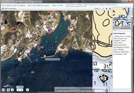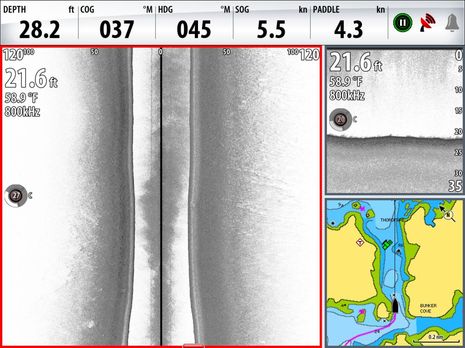

Moonraker makeover, by Electronics Unlimited
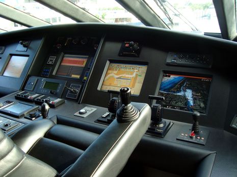
While at FLIBS, I had the pleasure of meeting Mike Spyros, Director of Service & Technical Development for Electronics Unlimited. Per usual, I invited Mike to send in details of a notable install (an open invitation, incidentally), and by golly he did, and she’s a corker. The 116-foot M/Y Moonraker might have been built in 1992, but is still claimed to be the world’s fastest mega-yacht, with a cruise speed of 28 knots. And I think the electronics makeover Mike and his team did last year is an interesting example of how familiar smaller boat brands and NMEA 2000 can be used to manage even a giant jetski…