The Garmin Marine Network: How Not To Get Lost At Sea
Engadget discusses Garmin’s new plug-and-play systems (GPSMAP 3010C & 3006C) that put GPS, weather, sonar, radar, and other important data at boaters� fingertips. It also highlights Garmin’s proprietary Marine Network, yet another alternative to NMEA 2000, the standard that somehow takes a long time to mature. One of the advantages of the Garmin approach is that it uses ethernet as a backbone. Since ethernet cables can be used for powering devices as well, this will make a supposedly plug and play boat network a lot less complicated in terms of wiring…
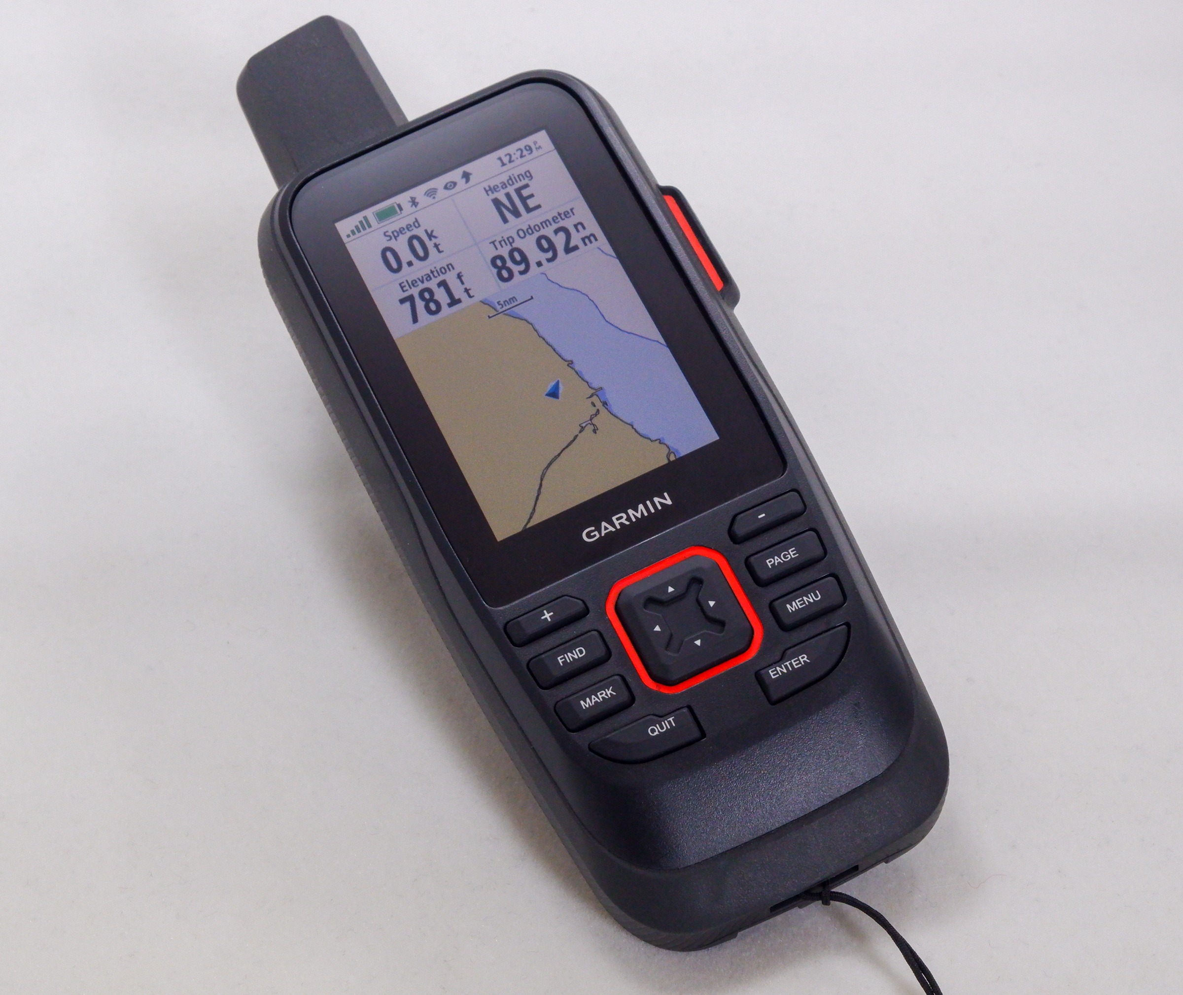
“From Garmin, a couple of new waterproof GPS handhelds designed specifically for seafarers. The GPSMAP 3010C (pictured above) has a 10.4-inch color LCD screen, while the GPSMAP 3006C has a smaller 6.4-inch screen. Both of them work with the Garmin Marine Network, Garmin’s new line of peripherals that you can attach to the handhelds. The first two to be available will be the GDL 30, which connects to XM’s satellite weather service and can download real-time graphical weather data (there’s another version, the GDL 30A, if you want to tune into satellite radio, too), and the the GSD 20, for adding sonar. A marine radar attachment should be ready sometime next year.”


