Category: Charts

18

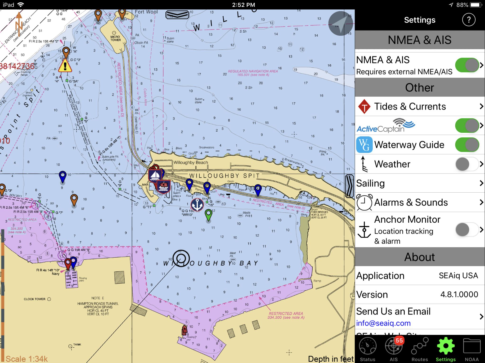
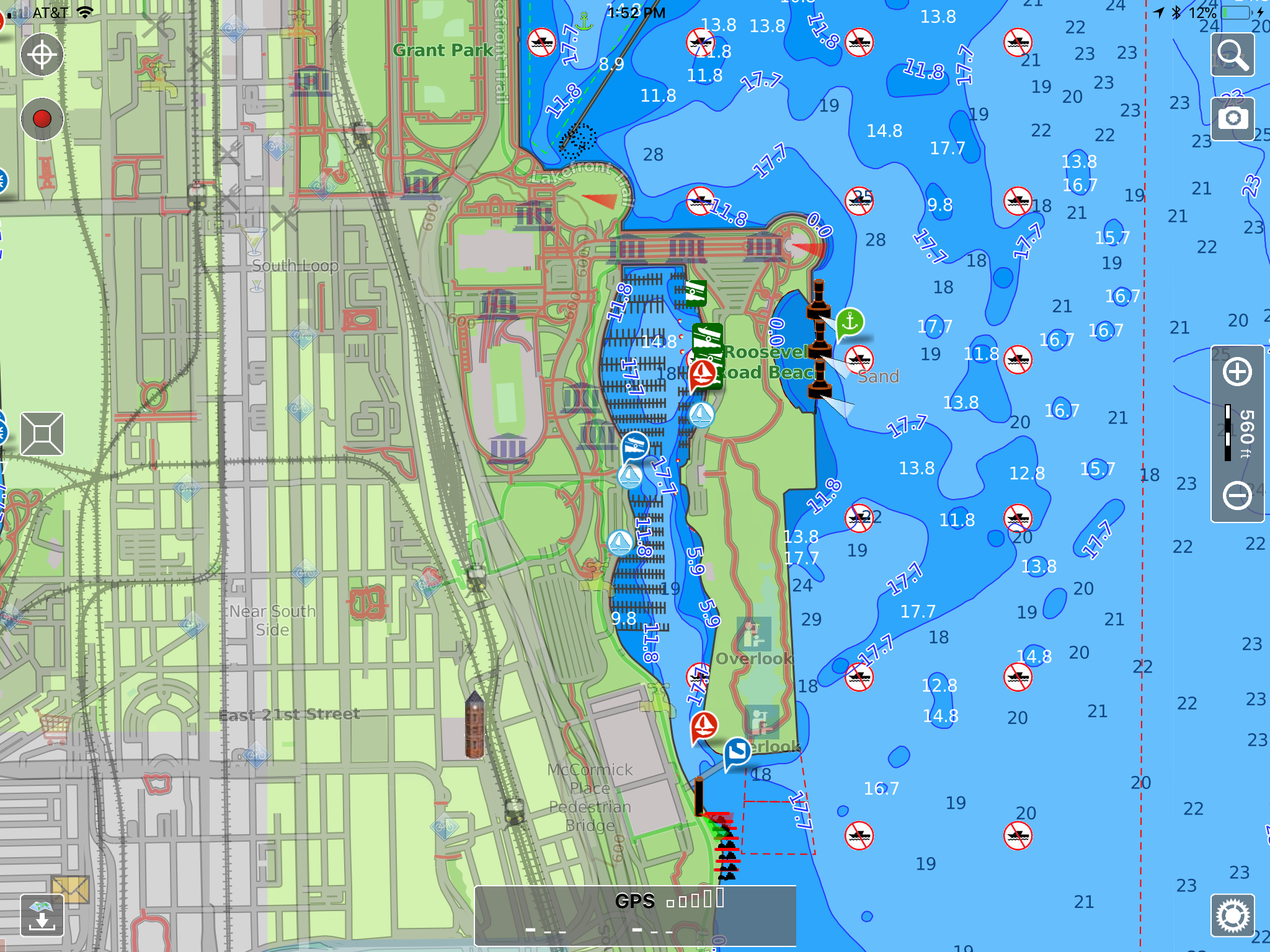
SEAiq apps replace ActiveCaptain with Waterway Guide

Actually, as you can see above, SEAiq lets you overlay both ActiveCaptain and Waterway Guide info onto its chart display (and easily turn either or both overlays on and off). But as noted on the SEAiq website, the AC data will not be updated after May 23, though “We are considering updating SEAiq support for ActiveCaptain but do not have definite plans yet.”

3

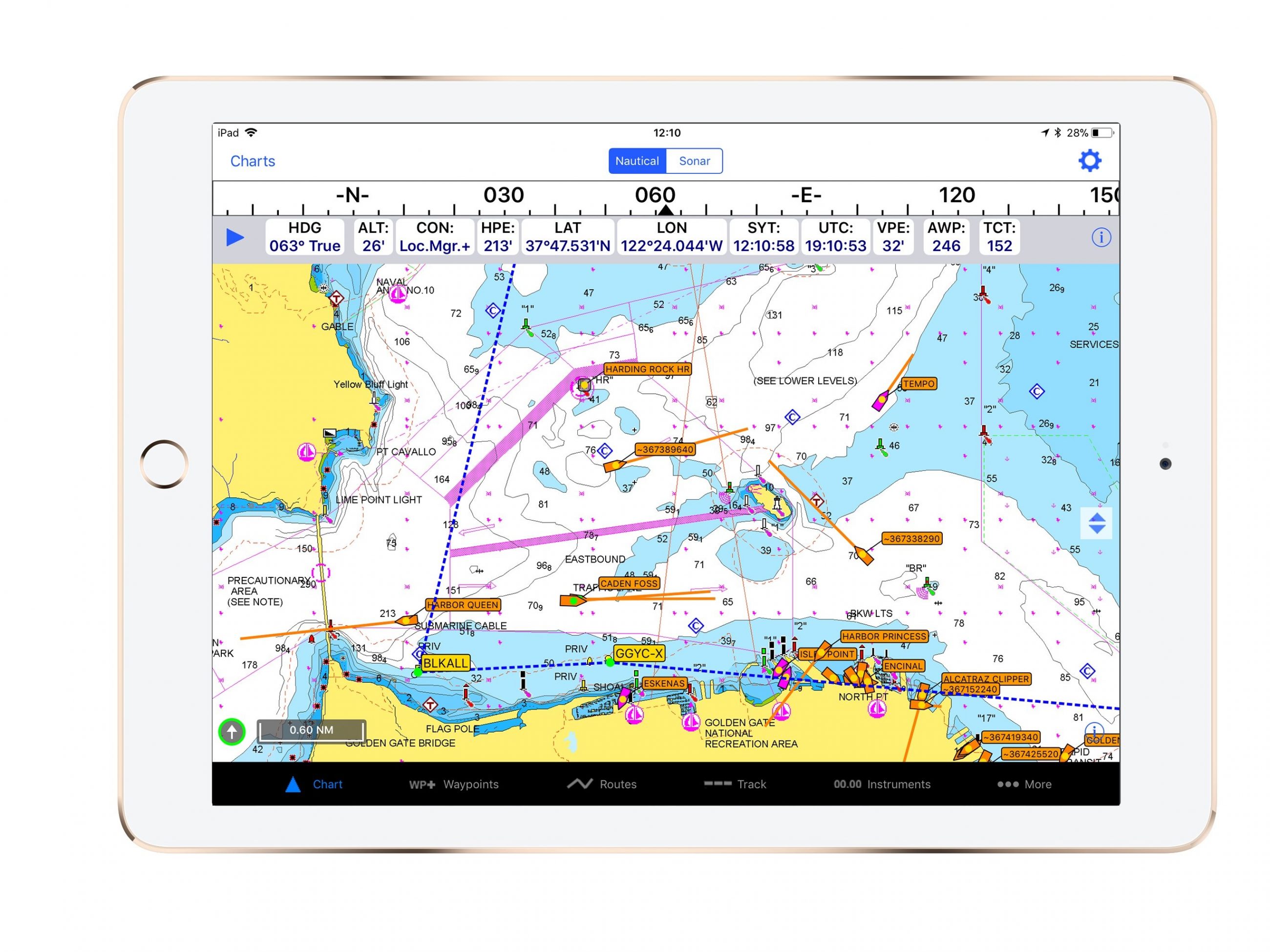
iNavX Brings AIS Live Coverage To Mobile Devices

San Francisco, Calif.- iNavX, the benchmark mobile marine navigation application, announced today the launch of iNavX AIS Live. Available on both iOS and Android versions of iNavX, iNavX AIS Live connects a user’s mobile device to the AIS Live global network of antennas. Real-time ship movements are broadcast to the iNavX app and overlaid directly on the chart…without the need for a radar or AIS transponder…

0

Lowrance Announces Software Update for HDS Carbon, Gen3 and Elite-Ti Displays

Tulsa, Okla. – Lowrance®, a world-leader in fishing electronics since 1957 — announced today the release of a new software update for HDS Carbon™, HDS Gen3 and Elite-Ti displays that includes sonar enhancements, new automatic routing functionality and improvements for C-MAP® charting. At the heart of the release is FishReveal™, an exciting…

0

Humminbird Introduces the FishSmart App

RACINE, Wis., March 14, 2018 – More than ever, anglers rely on their smartphones for communications on and off the water. Now, the new Humminbird® FishSmart® app puts the power of LakeMaster®mapping in anglers’ hands and delivers a more convenient path to important software updates for Humminbird fishfinders.

25

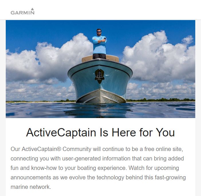
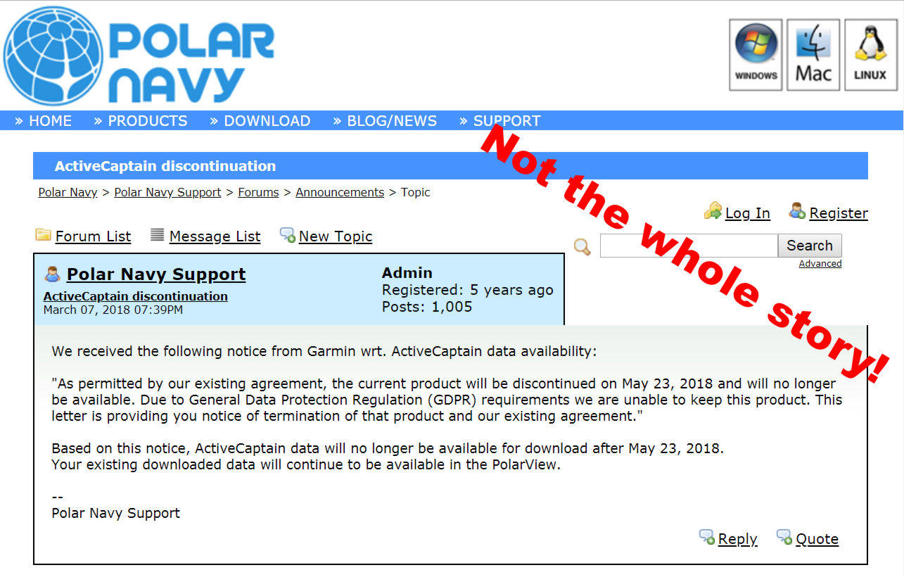
ActiveCaptain: Data delivery changing, but free access assured

Within minutes of announcing Garmin’s acquisuition of ActiveCaptain in May 2017 commenters here and elsewhere immediately began to worry about its future. On Wednesday evening, the Polar Navy announcement above poured fuel on that fire, suggesting that the many non-Garmin charting apps and MFDs which display ActiveCaptain cruising information would lose access to the database this May. But that quote is not the whole story by a long shot. Actually, Garmin is emphatic that AC data will remain freely available to developers and users…

Computer-assisted groundings? Bad Navionics charts? 32

Computer-assisted groundings? Bad Navionics charts?

Potts_Harbor_grounding_aPanbo.jpg

Despite incredible advances in chart availability and chart plotting, keels keep banging on reasonably well charted ledges and reefs all over the planet. Why? I’ve made far too many navigation errors to play the righteous scold, but I am taken aback by the tendency of boaters to blame technology and especially the recent trend toward castigating chart manufacturers like Navionics as if perfect data is a possibility or even an entitlement…

Is it true news that “NOAA wants to stop making NOAA charts”? 23

Is it true news that “NOAA wants to stop making NOAA charts”?

Landfall_email_NOAA_Wants_to_Stop_Making_NOAA_Charts_cPanbo.jpg

I’m a longtime fan of Landfall Navigation and I’m sure their intentions were good when they emailed this call to action Friday afternoon. But please don’t file a comment or call your congressman without looking deeper into the “news” that NOAA plans to discontinue all (paper-chart-like) raster files. In my read the end of rasters is only a far future possibility suggested in a recently published National Charting Plan that has some real meat (discussed below), and I’d be flabbergasted if it happened soon, or ever at the expense of important chart detail. Let’s judge NOAA on facts, not fearful conjecture…