


Summer bummer, please don’t blame charts or electronics
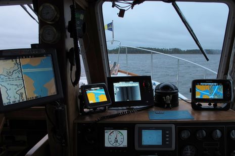
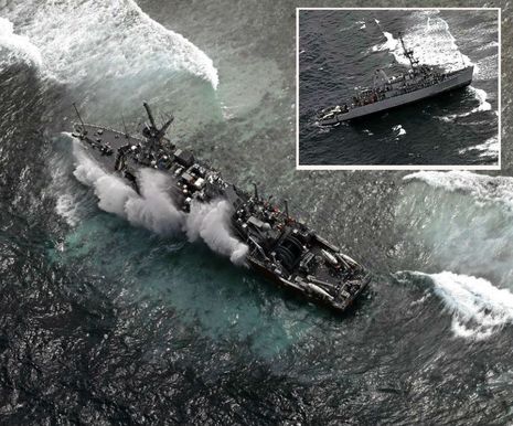
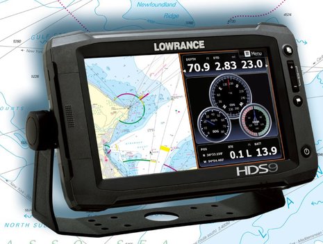
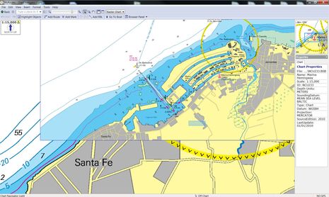
 While my friend Leonard Lookner was first to come upon this bad scene Wednesday afternoon, he too was sailing and thus a powerboat just behind him was first to offer assistance. But it was Leonard’s iPhone photos that fueled a local PenBay Pilot news piece which then prompted an interesting SailNet discussion. Of course it was suggested that marine electronics or digital charts were somehow to blame, allegations I’d like to refute, and I also want to report on how how well this worse-than-it-even-looks situation actually turned out. Plus getting reminded to be careful out there is never a bad idea…



Recent Panbo Comments